
What is recorded here
Identified in centre-line testing (E4110) in advance of the M11 Gorey to Enniscorthy road scheme and set aside for resolution as Ballynahallin 1 (Hardy et al. 2010, 107). It is situated on a shelf towards the top of a NE-facing slope down to the NNW-SSE River Slaney, which is c. 500m distant. Partial excavation (E4277) by Y. Whitty recorded a rectangular, round-bottomed trough (dims 2.4m N-S; 1.32m plus E-W; D 0.57m) at the W edge of the excavated area, which had five fills, some with burnt stone material. This trough was truncated at S by an oval trough (dims 2.4m N-S; 0.8m plus E-W; D 0.5m) and by another at N that remains unexcavated. A cluster of eight stake-holes just NE of the rectangular trough may represent a structure such as a wind-break, but its relationship to the troughs is unclear. There was a pit (dims 1.1m x 1m; D 0.7m) c. 6m NE of the rectangular trough and another pit (dims 0.8m x 0.5m; D 0.15m) c. 6m SE of the oval trough. The only other features were two post-holes c. 3m SE of the oval trough. Apart from a small deposit (dims 3.8m x 2.5m; T 0.07m) associated with the larger pit and a smaller spread (dims 1.15m x 0.75m; T 0.03m) just E of the oval trough and some traces in the trough fills, there was no burnt mound, but it may be preserved W of the excavated area. The unrelated lime-kiln (WX020-088----) is c. 30m to the NE. (McNamara 2011; Whitty 2013)
Compied by: Michael Moore
Date of upload: 28 November, 2013
The monument record does not grant public access. Check the route and ask the landowner before entering private land.
- What survives
- Recorded monument
Places near here
 KilnKiln, lime · 34 yd
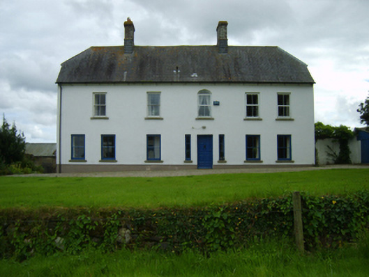 Ballynahallin Housefarm house · 612 yd
 Fulacht fia in KilcannonFulacht fia · 790 yd
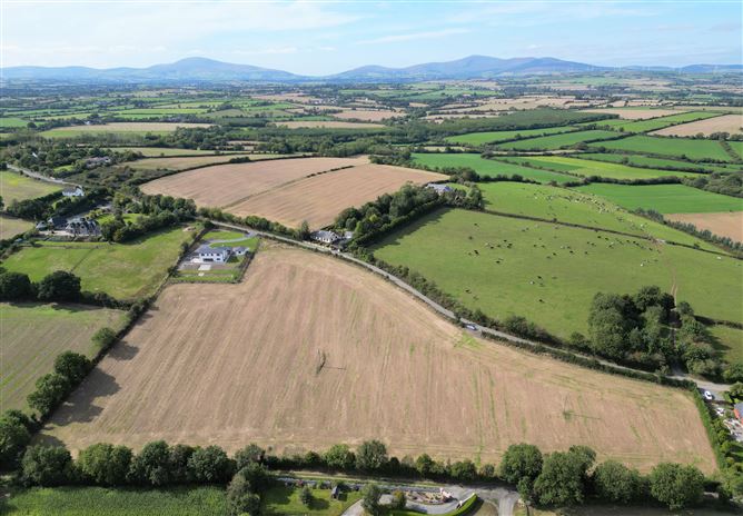 Habitation site in CoolnahornaHabitation site · 1311 yd
 U.N. Peace MemorialMonument · 2.4 mi
 Duffry GateMemorial · 2.5 mi
 Battle of Vinegar HillMajor battlefield · 2.5 mi
 National 1798 CentreMuseum · 2.8 mi
 Daphney CastleCastle, unclassified · 3.3 mi
 CastleCastle, ringwork · 4.6 mi
 Pedunculate OakPedunculate Oak · 4.7 mi
 European LarchEuropean Larch · 6.1 mi
Other information
Photo: Credit not shown in the picture search · Rights wording not checked; contact us if this picture should be removed