
What is recorded here
Identified in centre-line testing (E4110) in advance of the M11 Gorey to Enniscorthy road scheme and set aside for resolution as Ballynahallin 2 (Hardy et al. 2010, 108). It is situated on a shelf of a steep NE-facing slope down to the NNW-SSE River Slaney, which is c. 450m to the NE. Full excavation (E4264) by Y. Whitty recorded a circular, round-bottomed pit (diam. 4m; max. D 2m) with two fire-reddened layers at the edges separated by a charcoal-rich silty clay. An open drain or flue (Wth 3.7m; D 1.5m; L 5.7m plus) extended perpendicularly from the edge at SE. The base of this feature was filled with a charcoal-rich silty clay. It is probably post-medieval in date. The unrelated fulacht fia (WX020-087----) is c. 30m to the SW. (McNamara 2011; Whitty 2013)
Compiled by: Michael Moore
Date of upload: 28 November, 2013
The monument record does not grant public access. Check the route and ask the landowner before entering private land.
- What survives
- Recorded monument
Places near here
 Fulacht fia in BallynahallinFulacht fia · 34 yd
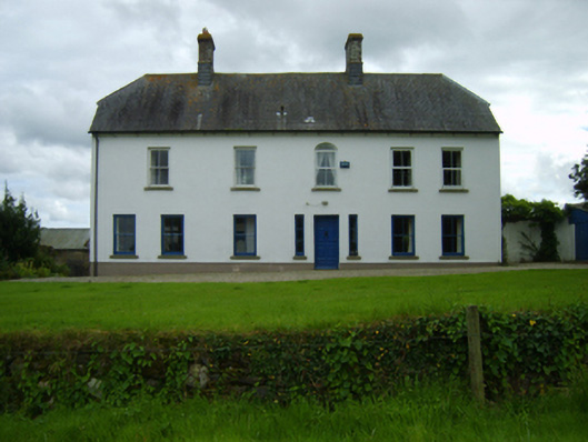 Ballynahallin Housefarm house · 587 yd
 Fulacht fia in KilcannonFulacht fia · 796 yd
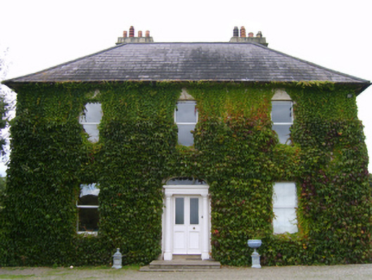 Riversdalefarm house · 805 yd
 U.N. Peace MemorialMonument · 2.4 mi
 Duffry GateMemorial · 2.5 mi
 Battle of Vinegar HillMajor battlefield · 2.5 mi
 National 1798 CentreMuseum · 2.8 mi
 Daphney CastleCastle, unclassified · 3.4 mi
 CastleCastle, ringwork · 4.6 mi
 Pedunculate OakPedunculate Oak · 4.7 mi
 European LarchEuropean Larch · 6.1 mi
Other information
Photo: Credit not shown in the picture search · Rights wording not checked; contact us if this picture should be removed