What is recorded here
The Bawn at Baunaghra is a subcircular cashel in County Laois, defined by a roughly coursed limestone wall that once rose nineteen feet high. Inside this polygonal enclosure stood a residence with four-foot-thick walls, a sturdy anchor for local power before James I granted the lands to the Duke of Buckingham. Today only the lower courses remain, but the scale of the stone still suggests a place built to withstand time and change.
A subcircular cashel (dims. c. 60m E-W, 51m N-S) defined by a roughly coursed limestone wall (T c. 1.1m, max. H c. 5m). Only the lower courses of the wall remain from SW-ENE. Described as being 19 feet high (c. 5.7m) with walls 4-4.5 ft (c. 1.2m) in thickness, with a residence or castle (LA033-016001-) in the interior (Carrigan 1905, vol. 2, 283).
Described by Carrigan as 'The "Bawn" of Bawnaghra is a polygonal enclosure, situated on a hill half a mile north-west of the church (LA033-017001-). It is about 50 yards across. The enclosing walls, built of very rough stones, were originally 19 ft. high; they are 4 to 4.5 ft. thick to a height of 14 ft., after which they narrow to 18 in., leaving a bench 2.5 ft. wide all round, on the inside. An old residence or castle (LA033-016002-) stood within the "Bawn" to the west; it was 30 ft. by 21 ft., the walls being 4 ft. thick. By Inquistion of March 18th, 1613-14, Edmond mac Shawn and Loughlin mac Donogh, probably Fitzpatrick's, were found to be seised of the townlands of Lisduff and Aghara. A few years later "Bawnagherry and Killoghery" were granted by James I. , to the Duke of Buckingham (Carrigan 1905, vol. 2, 283-4).
The above description is derived from the published 'Archaeological Inventory of County Laois' (Dublin Stationery Office, 1995) compiled by P. David Sweetman, Olive Alcock and Bernie Moran. In certain instances the entries have been revised and updated in the light of recent research.
Date of upload: 17 December 2007
The monument record does not grant public access. Check the route and ask the landowner before entering private land.
- What survives
- Recorded monument
Places near here
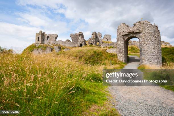 Baunaghra Ho. (in ruins)Castle, unclassified · 34 yd
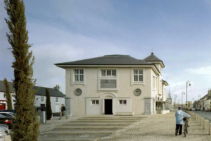 OutlinedEcclesiastical enclosure · 660 yd
 Church (in Ruins)Church · 1.2 mi
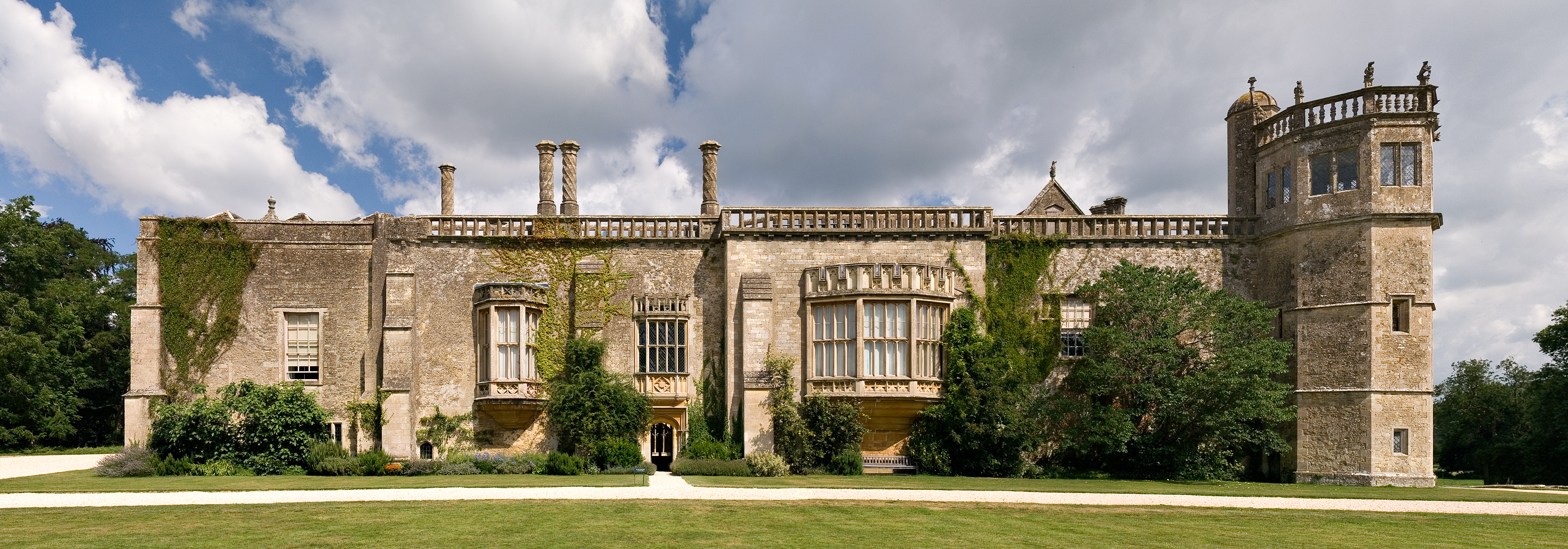 Abbey (in Ruins)Religious house, unclassified · 1.3 mi
 CastleCastle, unclassified · 1.4 mi
 Enclosure in GraigueadrislyEnclosure · 1.7 mi
 Tullow HillMountain / peak · 1.9 mi
 Clonmeen WoodWood · 2.3 mi
 Cnoc SeanrathaMemorial · 3.1 mi
 DelaneyMemorial · 5.6 mi
 Morris's GroveForest · 8.1 mi
 St. Mary's Famine and War MuseumMuseum · 9.9 mi