What is recorded here
Bawnaghra Church disappeared beneath rich corn crops after its graveyard was destroyed in 1905. The triple earth rampart and double fosse once enclosed ten acres of sacred ground, but human ambition broke that boundary into small plots. Dead bodies still lie beneath the shifting soil, unseen and unmarked. The church did not fall to war or rot; it was erased by hunger for land.
Graveyard destroyed 1905 (Carrigan 1905, 283). No visible surface remains visible.
Described by Carrigan as 'The Church of Bawnaghra, in Irish Kyle-aghra, stands in the centre of the "Church field", a tract of 10 acres, now broken up into several small, plots, but formerly constituting one undivided area surrounded by a triple rampart of earth and double fosse (LA033-017005-). The graveyard at the south side, has been destroyed and rich corn crops now grow over the remains of the dead. A short distance away there is a well, not holy, called Thubberachoppel, the horse's well' (Carrigan 1905, vol. 2, 283).
The above description is derived from the published 'Archaeological Inventory of County Laois' (Dublin Stationery Office, 1995) compiled by P. David Sweetman, Olive Alcock and Bernie Moran. In certain instances the entries have been revised and updated in the light of recent research.
Date of upload: 17 December 2007
This remains an important historical record, but the official description says the monument is no longer visible or has been destroyed. The monument record does not grant public access. Check the route and ask the landowner before entering private land.
- What survives
- No visible remains or recorded as destroyed
Places near here
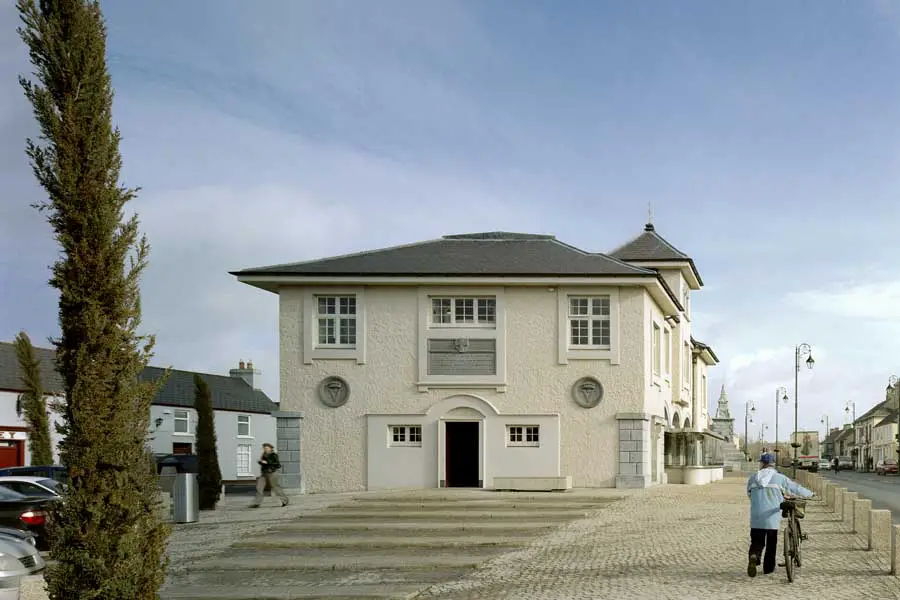 OutlinedEcclesiastical enclosure · 69 yd
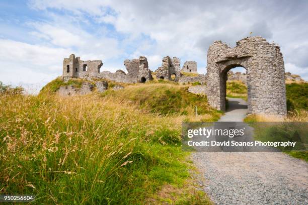 Baunaghra Ho. (in ruins)Castle, unclassified · 715 yd
 Castle PierceHouse, fortified house · 1.0 mi
 Enclosure in GraigueadrislyEnclosure · 1.3 mi
 Church (in Ruins)Church · 1.3 mi
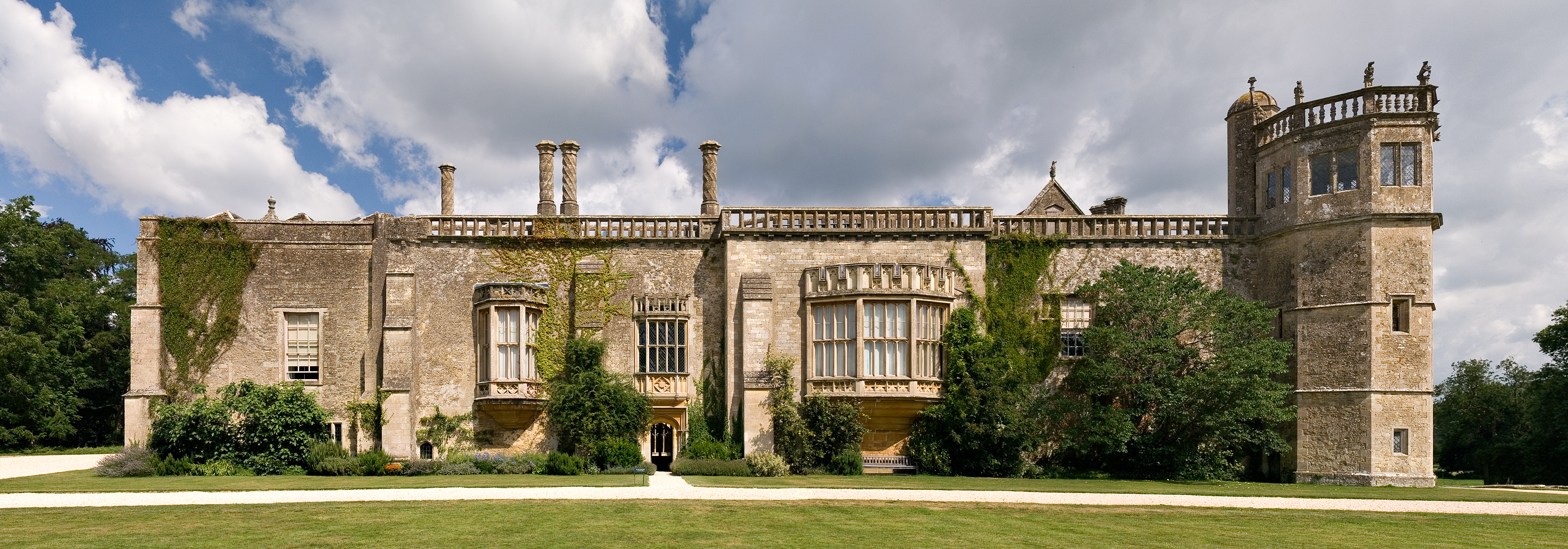 Abbey (in Ruins)Religious house, unclassified · 1.5 mi
 Tullow HillMountain / peak · 2.3 mi
 Clonmeen WoodWood · 2.6 mi
 Cnoc SeanrathaMemorial · 2.7 mi
 DelaneyMemorial · 5.2 mi
 Morris's GroveForest · 8.5 mi
 St. Mary's Famine and War MuseumMuseum · 10 mi