What is recorded here
Mortons and others may have built the ringfort at Graigueadrisly, yet the fairies took it over and still inhabit it. The earth bank stands thirty feet high in places, broken only at the southeast gap where human entry is forbidden. People who climbed the rampart or dug inside vanished or returned changed, so the community stopped touching the place and left it to its true owners.
A circular area (diam. c. 28.5m) defined by an earthen bank (Wth c. 2.3m, int. H c. 0.8m, ext. H c. 1.5m) except at SE. Traces of an external fosse visible.
The above description is derived from the published 'Archaeological Inventory of County Laois' (Dublin Stationery Office, 1995) compiled by P. David Sweetman, Olive Alcock and Bernie Moran. In certain instances the entries have been revised and updated in the light of recent research.
Date of upload: 17 December 2007
The monument record does not grant public access. Check the route and ask the landowner before entering private land.
- What survives
- Recorded monument
Places near here
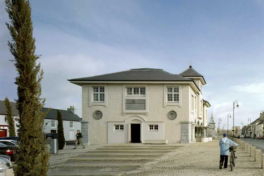 OutlinedEcclesiastical enclosure · 997 yd
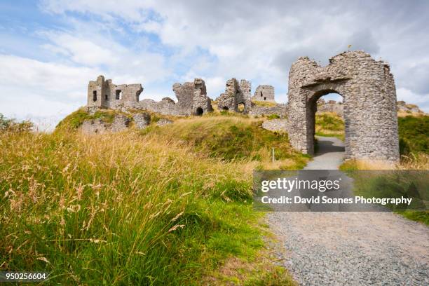 Baunaghra Ho. (in ruins)Castle, unclassified · 1492 yd
 Enclosure in GraigueadrislyEnclosure · 1.0 mi
 Castle PierceHouse, fortified house · 1.1 mi
 Church (in Ruins)Church · 1.2 mi
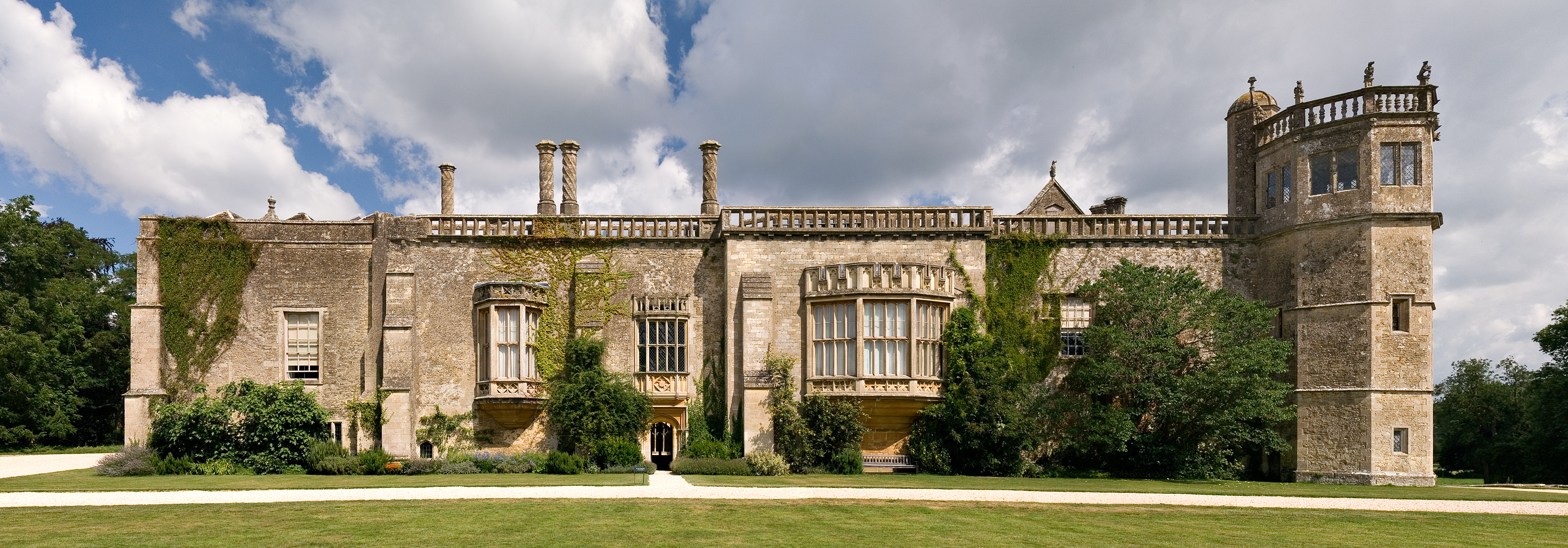 Abbey (in Ruins)Religious house, unclassified · 1.3 mi
 Cnoc SeanrathaMemorial · 2.3 mi
 Clonmeen WoodWood · 2.7 mi
 Tullow HillMountain / peak · 2.7 mi
 DelaneyMemorial · 5.1 mi
 Morris's GroveForest · 8.9 mi
 St. Mary's Famine and War MuseumMuseum · 11 mi