
What is recorded here
Situated on a sea-stack, c. 90m from the mainland. The name ‘Templeobrick’ indicates the site of a church associated with the name O'Bric, who were an important section of the Desi. Oileán Ui Bhríc is mentioned as a cardinal point in a mythological division of Munster (Comyn 1902, vol. 1, 127). Ilanobrich was granted by Henry Power of Dunhill (WA025-045001-) to John FitzWalter in 1250-60, but it remained with a branch of the Powers into the late 16th century when it came into the possession of the Earl of Ormond (Westropp 1914-16, 219-221), who still owned TempleIbrack in 1641 (Simington 1942, 118). John O’Donovan (O’Flanagan 1929, 26-7) refers to the foundations of a building which were still evident on the sea-stack in 1840, but suggests that the church was more likely to be on the mainland in Templeyvrick (WA024-070----), c. 1.2 km to the NE. The sea-stack is inaccessible, but it might be the last remnants of a promontory fort. (Mulholland 1976)
The above description is derived from the published 'Archaeological Inventory of County Waterford' (Dublin: Stationery Office, 1999). In certain instances the entries have been revised and updated in the light of recent research.
Date of upload/revision: 26th September 2011
The church at Templeobrick, Ballynarrid was likely built by the O'Bric (Ui Bhríc) family, an important branch of the Desi, and dates to the early medieval period. Its location on a sea-stack suggests a remote, possibly monastic or hermitage site, and the dedication may have been to a local saint or to St. Brigid, given the name's possible derivation.
The monument record does not grant public access. Check the route and ask the landowner before entering private land.
- What survives
- Recorded monument
Places near here
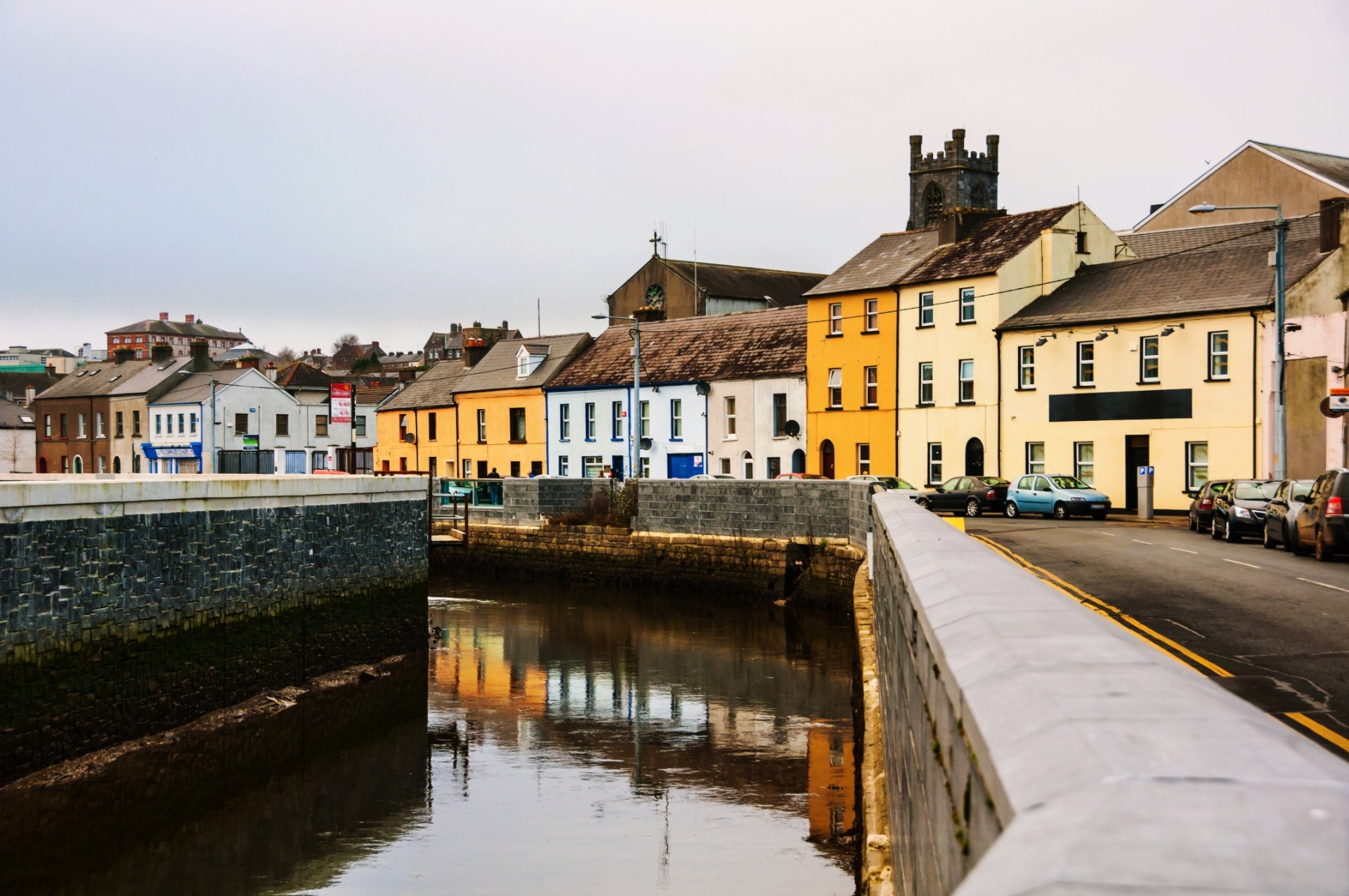 Site of EntrenchmentPromontory fort, coastal · 340 yd
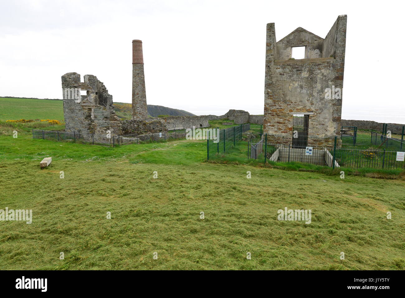 Mine in BallynarridMine · 371 yd
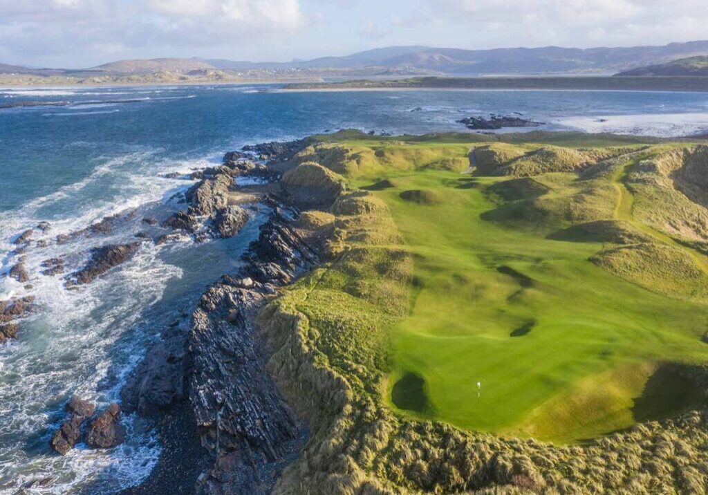 Slippery IslandPromontory fort, coastal · 411 yd
 Tra na mBoBeach / strand · 1029 yd
 Trá na mBóVisitor information · 1151 yd
 Ballydowane CoveBeach / strand · 1316 yd
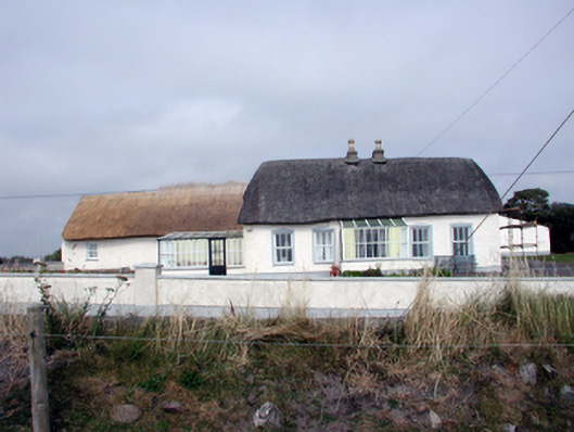 Roseville Househouse · 1492 yd
 Bunmahon StrandBeach / strand · 1.1 mi
 Bunmahon Miners' CottagesVisitor information · 1.1 mi
 Copper CoastCoastal geological landscape · 1.3 mi
 Mandevilles RockCastle, unclassified · 2.7 mi
 St. Bernard's WellSpring · 3.4 mi
Other information
Photo: Credit not shown in the picture search · Rights wording not checked; contact us if this picture should be removed