
What is recorded here
In a graveyard (MA035-003002-).
On the 1838 and 1920 OS 6-inch maps this church is shown as a rectangular building, oriented E−W, and incorporated into the W corner of the rectilinear graveyard. It is named ‘Temple Eunna’ on the 1838 map and ‘Temple Eunna (in Ruins)’ on the later edition. It is described in the OS Letters (1838, 330 (172)) as follows: ‘the ruins of a primitive Irish church called Teampull Eunna, or the Church of Saint Endeus, but so destroyed that no description of its original extent or form could be given. One side of the south doorway is standing but all other features are destroyed. It was very rudely built of large stones…’
Traces of the church were still visible in the early 1940s when the Irish Tourism Survey (unpublished survey) recorded ‘The lower courses of the walls are composed of huge stones…Traces of the jamb of the door are observable.’ This survey also recorded a local tradition that the church was founded by a follower of St. Patrick. According to this story, the saint directed his follower to found a church wherever a mishap would befall him. The man had a deer, which was carrying his belongings, and, while crossing a stream, the deer broke his leg; this was accept as a sign that that he had found the right location to build the church.
An inspection in 1996 found no visible trace of the church. There is a holy well (MA035-004001-), named Tober Eunna, c. 100m to SW.
Compiled by: Jane O'Shaughnessy
Date of upload: 13 March 2018
A local church or high cross; wider significance not recorded.
This remains an important historical record, but the official description says the monument is no longer visible or has been destroyed. The monument record does not grant public access. Check the route and ask the landowner before entering private land.
- What survives
- No visible remains or recorded as destroyed
Places near here
 Cross in Bunmore WestCross · 113 yd
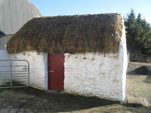 outbuildingoutbuilding · 1.3 mi
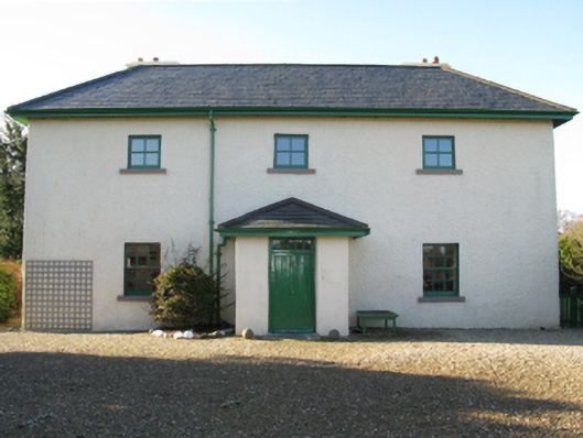 Lagduff Lodgehunting/fishing lodge · 1.6 mi
 Enclosure in Knockmoyleen (erris By.)Enclosure · 2.2 mi
 Site of CastleCastle, unclassified · 3.8 mi
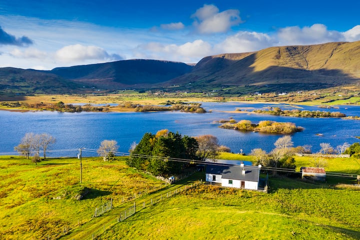 Illannamona IslandsIslet · 4.2 mi
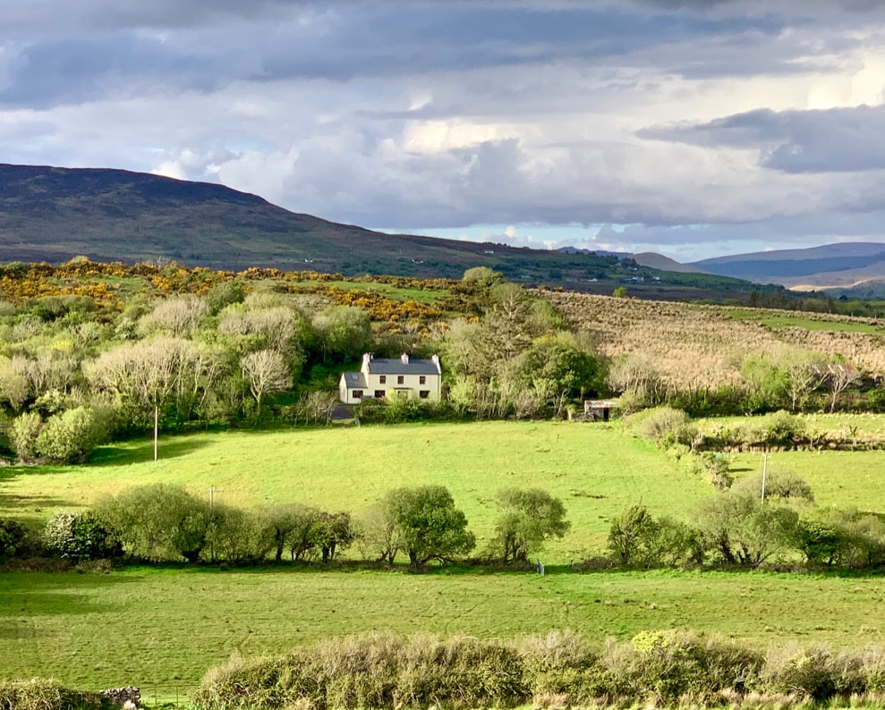 InishaghooIslet · 4.4 mi
 Rinn Inis PotaireHeadland · 4.6 mi
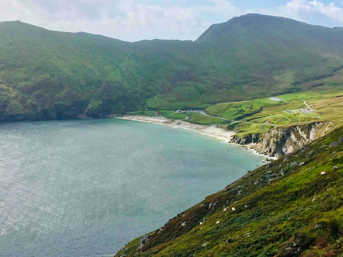 Trá na nAscaillBeach / strand · 4.7 mi
 Annagh IslandMountain / peak · 5.2 mi
 Claggan O'Donnell PlantationForest · 5.3 mi
 Rock House PlantationForest · 5.7 mi
Other information
Photo: Credit not shown in the picture search · Rights wording not checked; contact us if this picture should be removed