
What is recorded here
In pasture, located in a glen, on a SW facing slope, in mountainous terrain. There is a stream immediately to E. This graveyard is indicated on the 1838 and 1920 OS 6-inch maps as a rectangular enclosed area, with a church (MA035-003001-), named Temple Eunna’ incorporated into the W corner of the graveyard wall. The…
Read the whole record
From the National Monuments Service (Archaeological Survey of Ireland) record MA035-003002
Places near here
Photo credits
- National Inventory of Architectural Heritage
- Kmcnamee, Wikimedia Commons · CC BY-SA 4.0
- Maker not stated on source page, www.flickr.com
- Maker not stated on source page, www.dreamstime.com
- Maker not stated on source page, commons.wikimedia.org
- Maker not stated on source page, uk.pinterest.com
- dougf, Geograph · CC BY-SA 2.0
- dougf, Wikimedia Commons · CC BY-SA 2.0
- Maker not stated on source page, en.wikipedia.org
- Maker not stated on source page, www.alamy.com
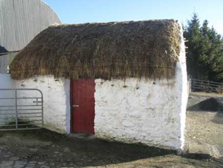 outbuilding1.3 mi
Explorer Tom Outbuilding in Gortbrack South wants its New Year’s resolution to be ‘stop falling apart’ but it keeps losing the bet.…
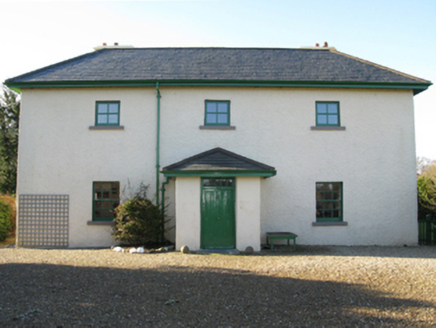 Lagduff LodgeHunting/fishing lodge · 1.6 mi
Explorer Tom Lagduff Lodge was built for fishing, but it looks more like a stage set for a rainy day drama. Imagine Henry John Grant…
 Ballycroy, Ballycroy GAAGAA ground · 1.7 mi
 Shean LodgeHunting/fishing lodge · 1.9 mi
Explorer Tom Shean Lodge in Sheeanmore means “She Who Is Very Tired” in ancient Gaelic, I’m pretty sure. A lord built it to fish…
 Megalithic structure in LetteraMegalithic structure · 2.7 mi
Explorer Tom Megalithic structure in Lettera is being picked on by the wind because it stands too tall and doesn’t know when to shut…
 Cross-inscribed stone in LetteraCross-inscribed stone · 2.8 mi
Explorer Tom Cross-inscribed stone in Lettera confuses map makers because it refuses to stay vertical when the wind picks up. It…
 Wedge tomb in Castlehill (erris By.)Wedge tomb · 3.5 mi
Explorer Tom Wedge tomb in Castlehill has strict rules: no hats, no talking about politics, and absolutely no touching the moss.…
 IllanroeIslet · 3.8 mi
Explorer Tom Illanroe ended up in the wrong place because it got drunk one night and wandered off while looking for a friend. It…
 HouseHouse, fortified house · 4.2 mi
Explorer Tom House in Fahy would be the awkward uncle at the wedding, standing by the cake with no idea what's happening. It just…
 Fahy or Doona Castle in ruinsCastle, tower house · 4.2 mi
Explorer Tom Fahy or Doona Castle in ruins is hosting a fiddler who never left his post. He’s been playing since the last ice age…
 GlassillanIslet · 4.6 mi
Explorer Tom Glassillan is where a priest lost a bet about how far he could skip a stone. He missed so badly he sank into the sand…
 Geesala CemeteryCemetery · 5.7 mi
Explorer Tom Geesala Cemetery in County Mayo would be the quietest contestant on any reality show, just staring blankly at the…
More archaeology and monuments in County Mayo · All of County Mayo

What do you know about this place?Tap to add a comment or ask a question