
What is recorded here
A cluster of archaeological deposits which, perhaps, represent a single or multiple structures. It consisted of a cluster of archaeological deposits exposed on the field surface and in the drain face for over 14m from north to south and up to 0.5m below the field surface. While it was not possible to distinguish…
Read the whole record
From the National Monuments Service (Archaeological Survey of Ireland) record ME046-082
Places near here
Photo credits
- Maker not stated on source page, www.gaia.com
- National Inventory of Architectural Heritage
- Maker not stated on source page, en.wikipedia.org
- Maker not stated on source page, ms.fusedlearning.com
- Maker not stated on source page, irisharchaeology.org
- Maker not stated on source page, www.europeanheritageawards.eu
- Mike Searle, Geograph · CC BY-SA 2.0
- Maker not stated on source page, www.pinterest.com
 Fairy fort / earthen ringfort in RossanFairy fort / earthen ringfort · 824 yd
Explorer Tom Fairy fort / earthen ringfort in Rossan has a long-standing grudge with the weather. It used to be a proper fort before…
 Kinnegad BridgeBridge · 1541 yd
Explorer Tom Kinnegad Bridge is missing half its arches, like a comb that went through a lawnmower and now it’s just doing its best…
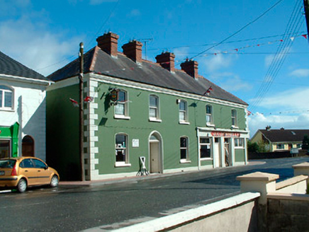 J.c. DonnellyHouse · 1633 yd
Explorer Tom J.c. Donnelly in Kinnegad is reviewing its visitors and giving them a stern two stars. It claims to be a landmark, but…
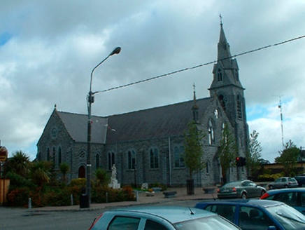 Catholic Church of the AssumptionChurch/chapel · 1.0 mi
Explorer Tom Catholic Church of the Assumption in Kinnegad has very strong opinions about modern buildings, mostly that they look…
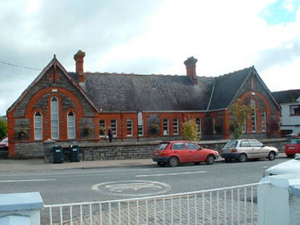 Kinnegad National SchoolSchool · 1.1 mi
Explorer Tom Kinnegad National School has a bird on the roof who refuses to leave even when the heating is off in winter. It looks…
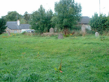 graveyard/cemetery1.1 mi
Explorer Tom Graveyard in Kinnegad is overgrown because the map makers got it wrong and everyone forgot to mow it properly. The…
 Ticroghan or Queen Marys CastleBastioned fort · 1.9 mi
Explorer Tom Ticroghan, or Queen Mary's Castle, loves a dramatic tune because it lost its manor. It’s got that 'I was important'…
 Fairy fort / earthen ringfort in KildanganFairy fort / earthen ringfort · 2.7 mi
Explorer Tom Fairy fort / earthen ringfort in Kildangan suspects the postman is actually a fairy scout. It’s been watching the road…
 Fairy fort / earthen ringfort in Harristown (moyfenrath Upper By.)Fairy fort / earthen ringfort · 2.8 mi
Explorer Tom Fairy fort / earthen ringfort in Harristown made a New Year's resolution to finally find its entrance. It’s been trying…
 CastleHouse, fortified house · 3.2 mi
Explorer Tom Castle in Castlejordan was built over who owns the view, which is the only argument that makes sense to me. The…
 Castle JordanArchaeological place · 3.2 mi
Explorer Tom Castle Jordan has a curse that only affects people who don’t wave when they pass by. If you’re too cool for school…
 Castlejordan CemeteryCemetery · 3.2 mi
Explorer Tom Castlejordan Cemetery is where I’m pretty sure a fake royal visit happened in the eighteenth century, but nobody can…
More archaeology and monuments in County Meath · All of County Meath

What do you know about this place?Tap to add a comment or ask a question