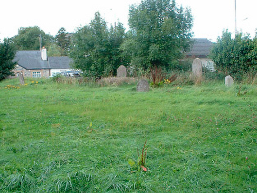
What is recorded here
Former church of Ireland graveyard on rectilinear plan, c.1760, containing a collection of cut stone grave markers, some with iron railings, dating from the second half of the eighteenth century to c.1900. Formerly the site of Church of Saint John the Baptist (Killucan), rebuilt c.1822 and demolished c.1954. Coursed…
Read the whole record
From the Buildings of Ireland (National Inventory of Architectural Heritage) record 15316002
Places near here
Photo credits
- National Inventory of Architectural Heritage
- Photographer not named on source page, www.gaa.ie
- Maker not stated on source page, www.gaia.com
- Maker not stated on source page, commons.wikimedia.org
- Maker not stated on source page, www.neverstoptraveling.com
- Maker not stated on source page, www.rte.ie
- Maker not stated on source page, www.pinterest.com
- Mike Searle, Geograph · CC BY-SA 2.0
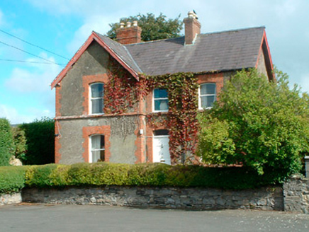 Kinnegad National SchoolSchool master's house · 76 yd
Explorer Tom Kinnegad National School is a charming little spot where the schoolmaster lived back in the day. It’s built by A.…
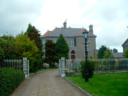 Catholic Church of the AssumptionPresbytery/parochial/curate's house · 257 yd
Explorer Tom Catholic Church of the Assumption in Kinnegad knows exactly how to handle a nosey neighbour. It has an asymmetrical…
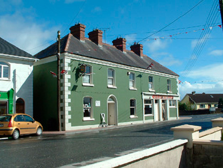 J.c. DonnellyHouse · 488 yd
Explorer Tom J.c. Donnelly in Kinnegad is reviewing its visitors and giving them a stern two stars. It claims to be a landmark, but…
 Kinnegad BridgeBridge · 598 yd
Explorer Tom Kinnegad Bridge is missing half its arches, like a comb that went through a lawnmower and now it’s just doing its best…
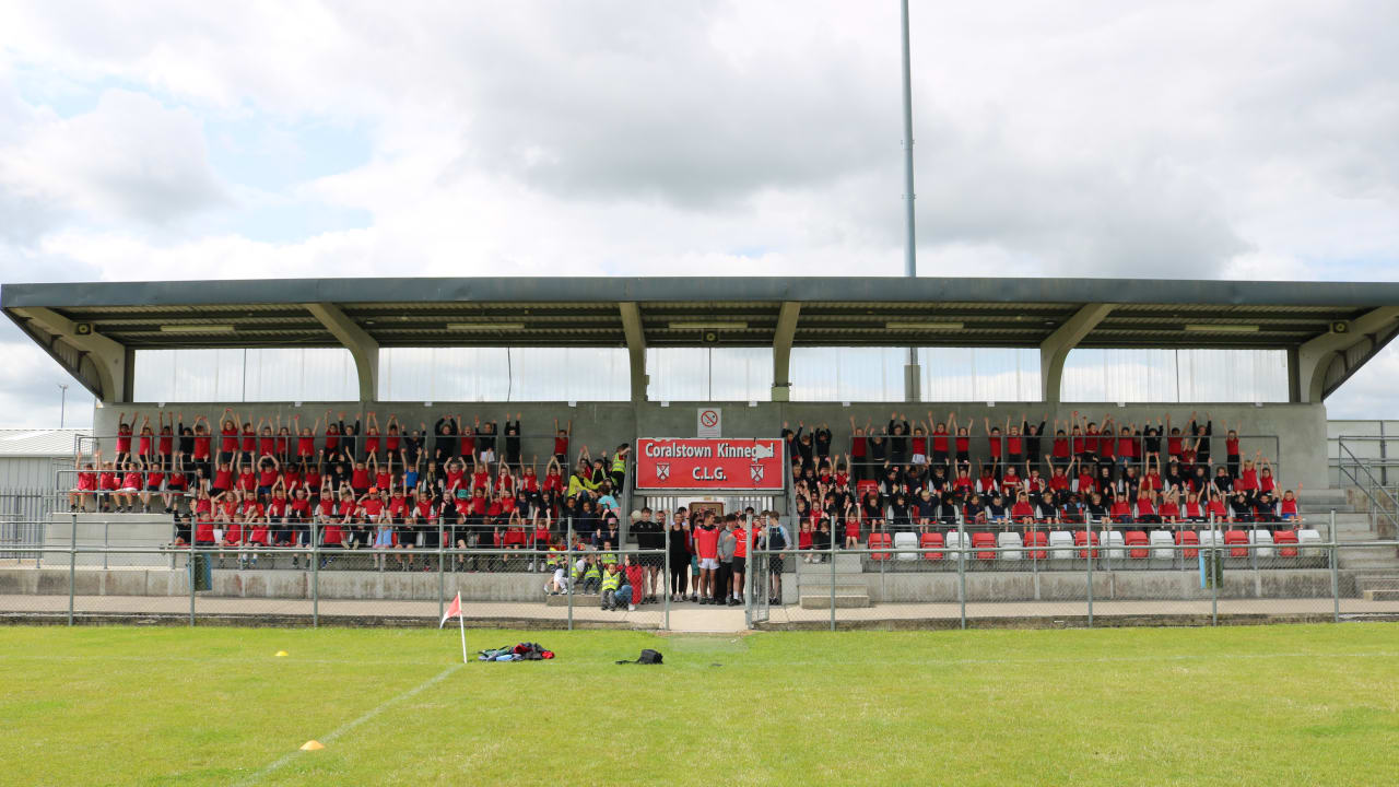 Coralstown/Kinnegad GAA pitchGAA ground · 640 yd
 Fairy fort / earthen ringfort in RossanFairy fort / earthen ringfort · 1250 yd
Explorer Tom Fairy fort / earthen ringfort in Rossan has a long-standing grudge with the weather. It used to be a proper fort before…
 CastleCastle, unclassified · 1.8 mi
Explorer Tom Griffinstown Castle is hiding its location so well that even the postman gives up after one try. After a few pints, it…
 Griffinstown HouseOutbuilding · 2.0 mi
Explorer Tom Griffinstown House started because two lads bet in the pub that they could build something bigger than the church. Now…
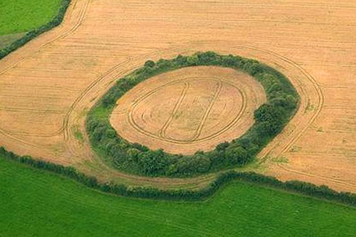 Fairy fort / earthen ringfort in CroboyFairy fort / earthen ringfort · 2.6 mi
Explorer Tom This Croboy fairy fort refuses to collapse because it’s too proud to admit it’s just a muddy hill. It overlooks the…
 Bullaun stone in BaltigeerBullaun stone · 2.9 mi
Explorer Tom Bullaun stone in Baltigeer was tried to be bought by a very confused cow. It has one hollow that might just be a…
 Castlejordan CemeteryCemetery · 4.1 mi
Explorer Tom Castlejordan Cemetery is where I’m pretty sure a fake royal visit happened in the eighteenth century, but nobody can…
 Castle JordanArchaeological place · 4.1 mi
Explorer Tom Castle Jordan has a curse that only affects people who don’t wave when they pass by. If you’re too cool for school…
More historic places in County Westmeath · All of County Westmeath

What do you know about this place?Tap to add a comment or ask a question