What is recorded here
Fairy fort in Rossan, County Meath: a D-shaped earthen ringfort, forty to fifty metres across, stood on a south-facing slope above Rossan Bog until road works removed it around 1950. Mapped as a fort in 1836 and still called a fort locally in 1912, it was probably a rath, a lived-in place whose boundary the land once kept sharp. What is gone is not nothing; the slope still faces the bog, and the missing circle can be drawn in the mind without pretending the earth still holds it.
Situated on a S-facing slope overlooking Rossan Bog. A D-shaped embanked enclosure (ext. dims c. 45-50m N-S; c. 35m E-W) truncated by a N-S roadway at W is depicted on the 1836 edition of the OS 6-inch map where it is described as a ‘Fort’. It is depicted as a triangular hachured feature on the 1912 edition, and it is described locally as a fort before its removal c. 1950. It was described in 1969 (SMR file) as a low D-shaped and grass-covered rise (dims 40m NE-SW; 35m NW-SE) defined by a slight scarp (Wth c. 5m; H 0.2m) and it was probably a rath.
The above description is derived from the published 'Archaeological Inventory of County Meath' (Dublin: Stationery Office, 1987). In certain instances the entries have been revised and updated in the light of recent research.
Compiled by: Michael Moore
Date of revision: 12 August 2019
The monument record does not grant public access. Check the route and ask the landowner before entering private land.
- What survives
- Recorded monument
Places near here
 Kinnegad Bridgebridge · 897 yd
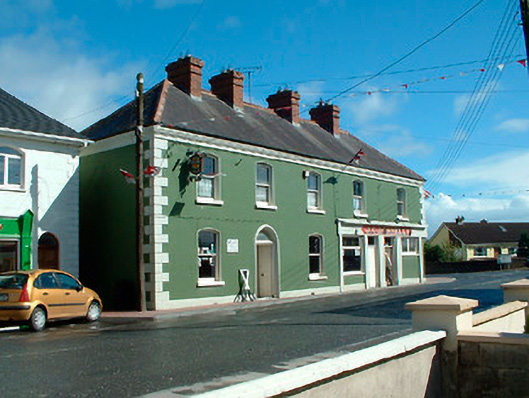 J.C. Donnellyhouse · 957 yd
 OutlinedFairy fort / earthen ringfort · 998 yd
 Partially hachuredFairy fort / earthen ringfort · 1.2 mi
 Ardnamullan CastleCastle, tower house · 1.5 mi
 Queen Marys CastleCastle, tower house · 2.3 mi
 Rahin WoodsForest · 3.6 mi
 Abandoned Kinnegad CanalWood · 3.9 mi
 Croppies' GraveMemorial · 4.1 mi
 Moat HillMountain / peak · 5.8 mi
 Sli na Slainte - mapVisitor information · 13 mi
 Allen family memorial headstoneMemorial · 13 mi