
What is recorded here
On a slight S facing slope with good views of gently undulating countryside. Poorly preserved possible ringfort consisting of a circular area (dims. c. 40m N-S; 33.2m E-W) defined by low scarp which is preserved as a curving field boundary at S only with remains of an external fosse only visible at this point. No surface remains visible of this curving field bank or of the monument on 2005 OSI aerial photographs (www.osi.ie). Hachured as a long sub-rectangular enclosure on the 1837 ed. OS 6-inch map that is intersected at N end by a road running E-W. Depicted not as an antiquity, but as a sub-rectangular-shaped field on the 1910 ed. OS 25-inch map.
Compiled by: Caimin O’Brien
Date of upload: 12 August 2013
A local fairy fort (ringfort/rath); wider significance not recorded.
The monument record does not grant public access. Check the route and ask the landowner before entering private land.
- What survives
- Recorded monument
Places near here
 OutlinedFairy fort / earthen ringfort · 1277 yd
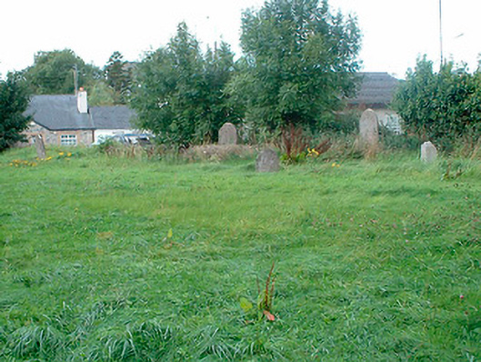 graveyard/cemeterygraveyard/cemetery · 1684 yd
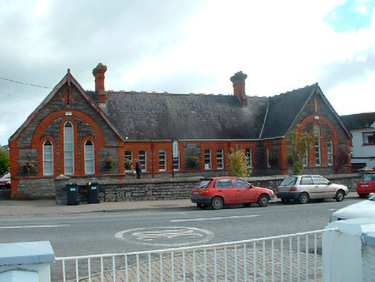 Kinnegad National Schoolschool · 1729 yd
 Ecclesiastical enclosure in GriffinstownEcclesiastical enclosure · 1.4 mi
 Rattin CastleCastle, tower house · 2.0 mi
 Ardnamullan CastleCastle, tower house · 2.6 mi
 Rahin WoodsForest · 4.6 mi
 Abandoned Kinnegad CanalWood · 4.9 mi
 Croppies' GraveMemorial · 5.2 mi
 Moat HillMountain / peak · 5.4 mi
 Knockdrin HillMountain / peak · 6.3 mi
 Sli na Slainte - mapVisitor information · 13 mi
Other information
Photo: Credit not shown in the picture search · Rights wording not checked; contact us if this picture should be removed