
What is recorded here
Remains of multi-arch road bridge over Kinnegad River, built c.1665 and altered c.1735 and c.1840. Constructed of coursed random rubble stone with roughly dressed voussoirs to the arch. Three arches of the seventeenth century bridge survive to the southeast side of the bridge, over former river channel, with modern…
Read the whole record
From the Buildings of Ireland (National Inventory of Architectural Heritage) record 15316013
Places near here
Photo credits
- National Inventory of Architectural Heritage
- Andreas F. Borchert, Wikimedia Commons · CC BY-SA 4.0
- Dylan Moore, Geograph · CC BY-SA 2.0
- MookiePlays, Wikimedia Commons · CC BY-SA 4.0
- Robin Pollard, Wikimedia Commons · CC BY 3.0
- Malene Thyssen, Wikimedia Commons · CC BY-SA 3.0
- Alvesgaspar, Wikimedia Commons · CC BY-SA 3.0
- Alex Passmore, Geograph · CC BY-SA 2.0
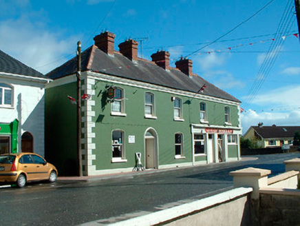 J.c. DonnellyHouse · 111 yd
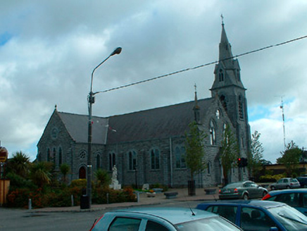 Catholic Church of the AssumptionChurch/chapel · 317 yd
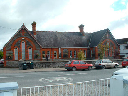 Kinnegad National SchoolSchool · 505 yd
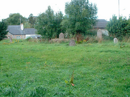 graveyard/cemetery598 yd
 Font (present location) in TowlaghtFont (present location) · 3.1 mi
Explorer Tom Font in Towlaght was moved from an old church to St Finian's in 1991. It’s carved with biblical scenes and looks like it has seen better days. It's free, it's odd, what more do you want?
 Bawn in RattinBawn · 3.2 mi
 Rattin CastleCastle, tower house · 3.2 mi
 Site of AbbeyChurch · 3.6 mi
Explorer Tom Site of Abbey in Anneville or Clonard Old would complain to the council about how many students St. Finnian actually graduated. Twelve apostles? Give me a break, that’s just wishful thinking by medieval PR guys. Tell it a joke, it's been a long time since anyone did.
.jpg/250px-Croppies_Grave_Clonard_-_panoramio_(1).jpg "Photo: Robin Pollard, Wikimedia Commons · CC BY 3.0") Croppies' GraveMemorial · 4.1 mi
Croppies' GraveMemorial · 4.1 mi European Beech7.1 mi
Explorer Tom European Beech in County Meath is sick of people asking if it talks to the other trees; yes, they gossip, shut up. It’s got that tired look of someone who’s heard every question before. Bring a flask of something warm and a story to swap.
 Common Lime7.2 mi
Explorer Tom Common Lime in County Meath once hid a crate of smuggled whiskey in its roots during a particularly rainy century. The bark still smells faintly of rum and bad decisions. Go back in winter, it's a different animal.
 Grand Canal WayVisitor information · 17 mi
More historic places in County Westmeath · All of County Westmeath

What do you know about this place?Tap to add a comment or ask a question