What is recorded here
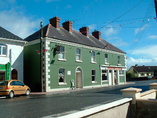
Detached corner-sited five-bay two-storey former house, built c.1865, having a shopfront, c.1940, to the east end of the main façade (south). Currently in use as a public house and shop with accommodation over. Single-storey flat-roofed extension to the northeast elevation. Hipped natural slate roof with clay ridge tiles, moulded eaves cornice and moulded red brick chimneystacks. Ruled-and-line rendered walls over projecting plinth with raised quoins to the corners. Segmental-headed window openings with moulded scotia surrounds, stone sills and one-over-one pane timber sliding sash windows. Segmental-headed doorcase to the second bay from the west end of the front façade (south) having moulded scotia surround and a timber panelled door with plain fanlight over. Shopfront to the east end of the main façade having square-headed window openings with fixed pane windows, square-headed doorcases with timber panelled doors and plain overlights over and with plain rendered pilasters supporting plain rendered fascia over. Chamfered corner to the east end of the shopfront. Road-fronted to the east end of Kinnegad.
This is a robust and well-detailed building, of mid-to-late nineteenth-century appearance, which retains its early character and form. The building is well-maintained and retains much of its early fabric, including timber sash windows and a heavy eaves cornice. This building is very prominently sited on a corner site, marking the entrance into the town from the east side. This building is a landmark structure in the streetscape of Kinnegad and is a worthy addition to the built heritage of the local area.
This does not grant access. Most recorded buildings are privately owned; view them only from public ground unless the owner allows entry.
Places near here
 Kinnegad Bridgebridge · 111 yd
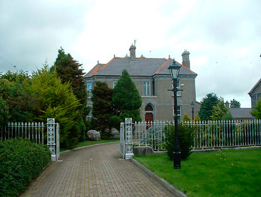 Catholic Church of the Assumptionpresbytery/parochial/curate's house · 235 yd
 OutlinedFairy fort / earthen ringfort · 789 yd
 Partially hachuredFairy fort / earthen ringfort · 1.2 mi
 Ardnamullan CastleCastle, tower house · 1.5 mi
 Queen Marys CastleCastle, tower house · 2.5 mi
 Abandoned Kinnegad CanalWood · 3.7 mi
 Rahin WoodsForest · 4.0 mi
 Croppies' GraveMemorial · 4.1 mi
 Moat HillMountain / peak · 6.2 mi
 Sli na Slainte - mapVisitor information · 13 mi
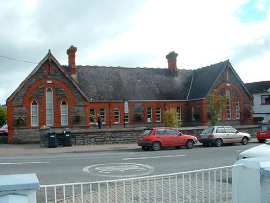 Kinnegad National Schoolschool · 396 yd
Other information
Photo: National Inventory of Architectural Heritage · Website use allowed for educational or private purposes with source credit