What is recorded here
Situated on a slight ridge overlooking Croboy Lough which is c. 250m to the WNW. This is a slightly raised circular and grass-covered area (diam. 37m N-S; 36m E-W) sloping down to the NE defined by a scarp (max. H 1.2m at SW) that melds into the ground N-NE. There is no visible fosse, but the entrance may be a dip in the perimeter (Wth 4m) at NE. The cropmark can be seen on aerial images (OSAP 2017) and on Google Earth (06/06/2018).
See the attached view from Google Earth
The above description is derived from the published 'Archaeological Inventory of County Meath' (Dublin: Stationery Office, 1987). In certain instances the entries have been revised and updated in the light of recent research.
Date of revision: 18 September, 2017
Amended: 9 August, 2019
The monument record does not grant public access. Check the route and ask the landowner before entering private land.
- What survives
- Recorded monument
Places near here
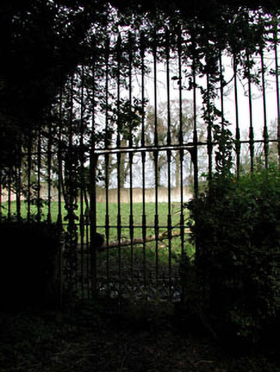 Mount Heveywalled garden · 1.2 mi
 OutlinedFairy fort / ringfort · 1.5 mi
 Partially indicatedFairy fort / earthen ringfort · 1.9 mi
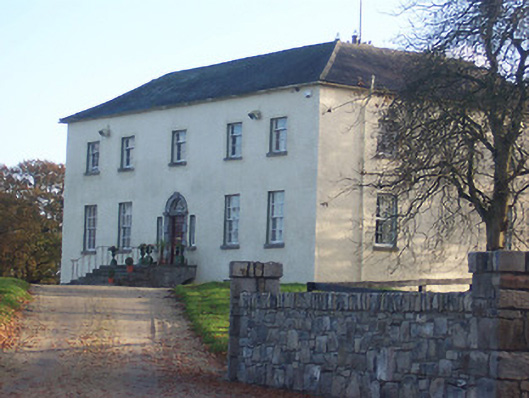 Hyde Parkcountry house · 2.0 mi
 Abandoned Kinnegad CanalWood · 2.2 mi
 Ardnamullan CastleCastle, tower house · 2.2 mi
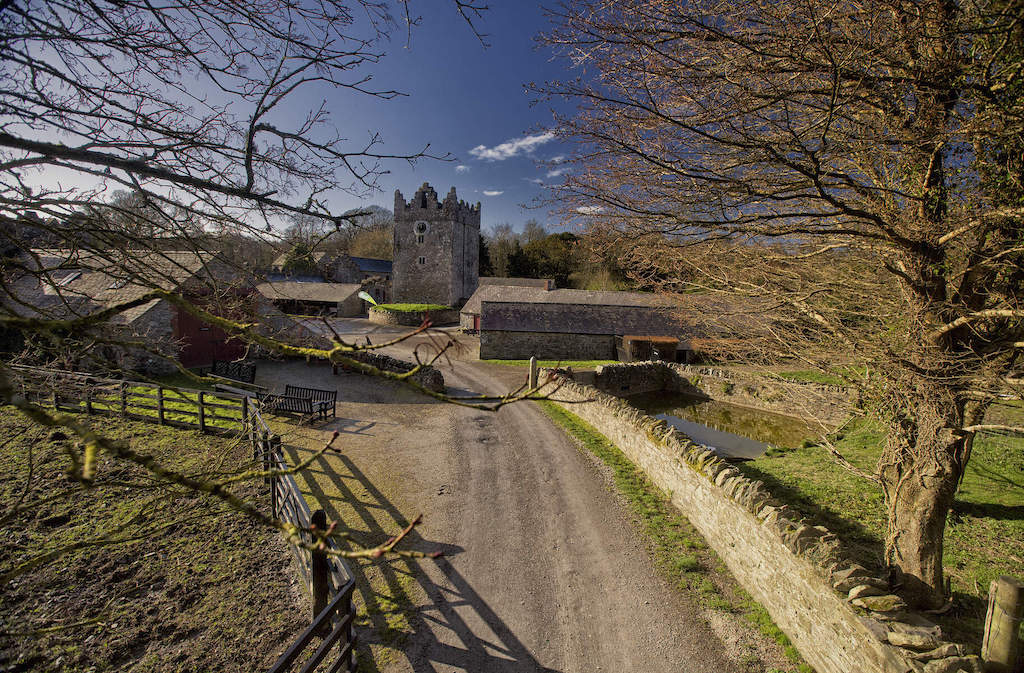 CastleCastle, unclassified · 2.7 mi
 Croppies' GraveMemorial · 3.8 mi
 ScregganWood · 4.4 mi
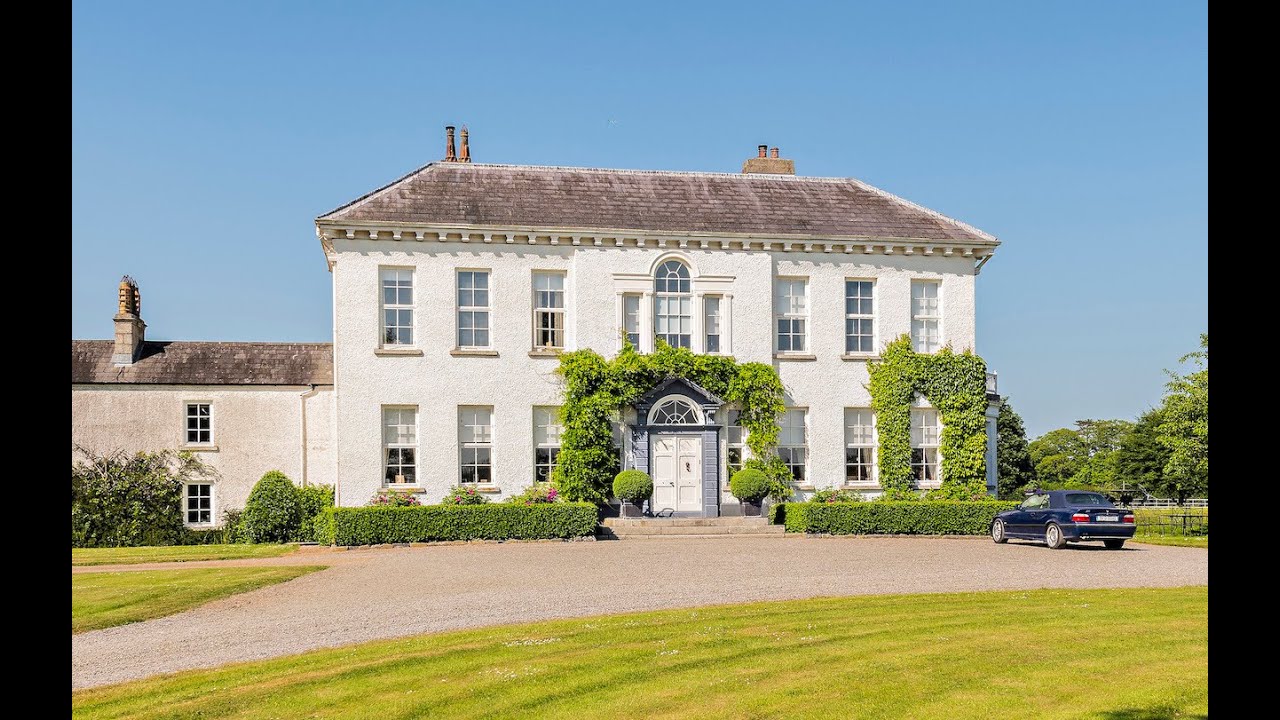 Concentric enclosure in Anneville or Clonard OldConcentric enclosure · 2.3 mi
 Grange Beg Housedovecote/pigeon house/aviary · 2.3 mi
 D'Arcy's Bridgebridge · 2.4 mi