Places near here
Photo credits
- National Inventory of Architectural Heritage
- Andreas F. Borchert, Wikimedia Commons · CC BY-SA 4.0
- Garry Dickinson, Geograph · CC BY-SA 2.0
- James Allan, Wikimedia Commons · CC BY-SA 2.0
- Malene Thyssen, Wikimedia Commons · CC BY-SA 3.0
- Robin Pollard, Wikimedia Commons · CC BY 3.0
- Alvesgaspar, Wikimedia Commons · CC BY-SA 3.0
- Eric Jones, Wikimedia Commons · CC BY-SA 2.0
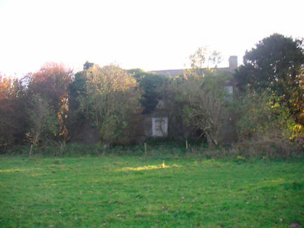 Grange Beg HouseCountry house · 1.7 mi
Explorer Tom Grange Beg House is a substantial country house that has been adding new bits and pieces for centuries like a fashionista who can’t stop buying clothes. It’s derelict now, but it still retains its early character, which is impressive for a building that’s seen so many changes. The exposed sash boxes tell a story of late seventeenth-century origins that nobody really wants to hear.
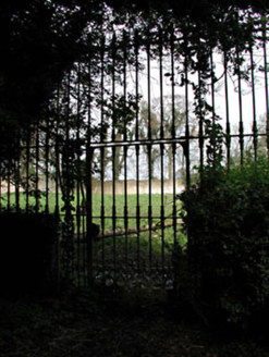 Mount HeveyWalled garden · 2.1 mi
Explorer Tom Mount Hevey in Kilnagallagh, County Meath is a walled garden with more ego than sense. It nearly went to auction for the price of a horse once. Bring your own legs for the walk around.
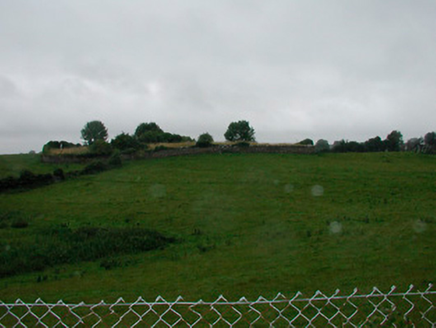 graveyard/cemetery2.4 mi
Explorer Tom Graveyard in Grange Beg has a smuggling story where someone hid a crate of contraband whiskey behind a headstone and forgot about it for two hundred years. The irregular shape is just the earth doing its own thing, like a puddle that decided to stay put and grow roots. Pretend you’re looking for treasure while checking out those markers!
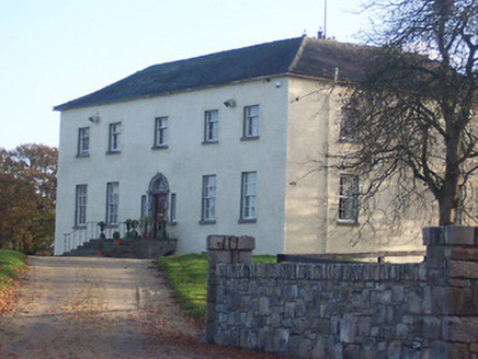 Hyde ParkCountry house · 2.4 mi
Explorer Tom Hyde Park holds a fake world record for 'Most Blank Masonry Next to Windows' which nobody asked for but everyone respects. It’s a mid-Georgian show-off with crown glass panels that make you feel like you’re seeing through time itself into a very fancy past. Bring your binoculars to really appreciate those window details!
 Font (present location) in TowlaghtFont (present location) · 3.6 mi
Explorer Tom Font in Towlaght was moved from an old church to St Finian's in 1991. It’s carved with biblical scenes and looks like it has seen better days. It's free, it's odd, what more do you want?
 CastleCastle, motte · 3.7 mi
Explorer Tom This motte in Anneville is basically a giant grassy donut waiting for Saint Patrick to come back and critique its landscaping. He’d probably say it’s too fancy for his taste, but I’m sure he’s wrong. Go in good boots and better humour, mate.
 Site of AbbeyChurch · 3.8 mi
Explorer Tom Site of Abbey in Anneville or Clonard Old would complain to the council about how many students St. Finnian actually graduated. Twelve apostles? Give me a break, that’s just wishful thinking by medieval PR guys. Tell it a joke, it's been a long time since anyone did.
 Donore CastleCastle · 4.2 mi
Explorer Tom Donore Castle is in a bitter feud with the next village over something as daft as a missing fence post. They’ve stopped speaking for centuries, mostly out of sheer stubbornness rather than any real grievance. It’s the kind of grudge that only gets worse at parties. Ideal for a moody photo you'll pretend wasn't posed.
 European Beech4.6 mi
Explorer Tom European Beech in County Meath is sick of people asking if it talks to the other trees; yes, they gossip, shut up. It’s got that tired look of someone who’s heard every question before. Bring a flask of something warm and a story to swap.
.jpg/250px-Croppies_Grave_Clonard_-_panoramio_(1).jpg "Photo: Robin Pollard, Wikimedia Commons · CC BY 3.0") Croppies' GraveMemorial · 4.7 mi
Croppies' GraveMemorial · 4.7 miExplorer Tom Croppies' Grave marks where rebels fell, and someone wrote a terrible poem about it that rhymed 'blood' with 'mud'. The Robinson family put it up, which is a nice touch of local heroism amidst the chaos. Go now, before it gets famous and starts charging entry fees.
 Common Lime4.7 mi
Explorer Tom Common Lime in County Meath once hid a crate of smuggled whiskey in its roots during a particularly rainy century. The bark still smells faintly of rum and bad decisions. Go back in winter, it's a different animal.
 Delvin CastleVisitor attraction · 7.9 mi
Explorer Tom Delvin Castle has been locked in a bitter, centuries-long feud with the rain, and honestly, the castle is winning. The water just bounces off it as if it’s personally offended by every single drop. Bring a flask of something warm and a story to swap.
More archaeology and monuments in County Westmeath · All of County Westmeath

What do you know about this place?Tap to add a comment or ask a question