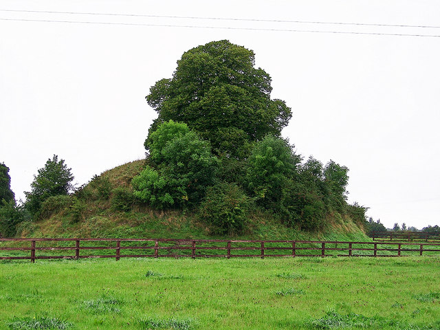
What is recorded here
Castle, motte in Anneville or Clonard Old rises nine metres above the Clonard River flood-plain, its steep grass sides and elm-topped summit marking a boundary between water, field and memory. The mound still stands beside its crescent bailey and external bank, while St Finian’s church waits two hundred and seventy metres east. That proximity suggests the castle did not merely dominate the river; it guarded the living landscape where worship, farming and rivalry crossed.
Situated on the flood-plain of the NW-SE Clonard River also known as the Kilwarden River, with the stream c. 30m to the SW. This is a flat-topped, steep-sided and grass-covered earthen mound (diam. of top 14m NE-SW; diam. of base 45m NE-SW; H 9.5-10.4m) with some trees including an elm on to the summit. It is defined by a fosse (Wth of base 2-3m; ext. D 1.2-2m) with an external bank (at NE: Wth of base 15m; int. H 2m; ext. H 1m) which broadens out into a crescent-shaped bailey (Wth 10m NE-SW; L c. 50m) SE-SW. The early church site of St Finian that became the medieval parish church (ME047-007001-) is c. 270m to the ESE, and the motte could be integrated with the field system (ME047-008----). The possible ringwork (ME047-005----) is across the river, c. 70m to the SW.
The above description is derived from the published 'Archaeological Inventory of County Meath' (Dublin: Stationery Office, 1987). In certain instances the entries have been revised and updated in the light of recent research.
Compiled by: Michael Moore
Date of revision: 3 June 2016
Amended: 24 March 2023
The monument record does not grant public access. Check the route and ask the landowner before entering private land.
- What survives
- Recorded monument
Places near here
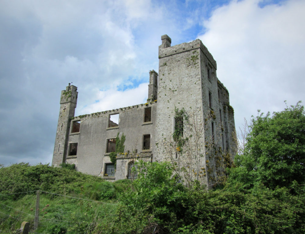 CastleCastle, ringwork · 157 yd
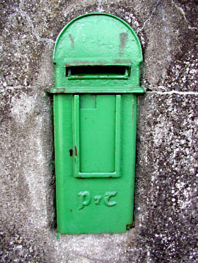 post boxpost box · 182 yd
 Field system in Anneville or Clonard OldField system · 286 yd
 Site of AbbeyChurch · 325 yd
 Saint Finian's Church (Clonard)church/chapel · 326 yd
 Abandoned Kinnegad CanalWood · 1678 yd
 Croppies' GraveMemorial · 1.1 mi
 Queen Marys CastleCastle, tower house · 1.8 mi
 Rahin WoodsForest · 3.7 mi
 Cloncurry GraveyardHeritage attraction · 9.3 mi
 The Grill ShackHeritage attraction · 11 mi
 Lismahon 1798 MemorialMonument · 19 mi
Other information
Photo: Garry Dickinson · CC BY-SA 2.0