
What is recorded here
Located on both banks of the canalised NW-SE Clonard stream. Aerial photographs (CUCAP: ALK 92, AOY 46; AYR 36, 37) from the 1970s show a field system covering about 50 acres (c. 20 ha), now largely reclaimed. The fields are fairly regular (dims c. 50m x c. 30m) and are defined by silted ditches in the main. Excavation (E000154) by P. D. Sweetman in 1976 (1978, 12-15) revealed that most of the ditches were medieval and that the present canalised stream cuts some of them. Included in the complex are the ring-work (ME047-005----), enclosure (ME047-006----), and the motte and bailey (ME047-004----). Two burial grounds (ME047015----; ME047-017----) are within the fields. The site of St Finian’s monastery (ME047-007----) is at the N edge of the area and the convent of St Mary (ME047-021----) as well as the Augustinian abbey of St Peter (ME0245-022----) could be within it.
The above description is derived from the published 'Archaeological Inventory of County Meath' (Dublin: Stationery Office, 1987). In certain instances the entries have been revised and updated in the light of recent research.
Compiled by: Michael Moore
Date of revision: 13 August 2019
The monument record does not grant public access. Check the route and ask the landowner before entering private land.
- What survives
- Recorded monument
Places near here
 Site of AbbeyChurch · 145 yd
 Saint Finian's Church (Clonard)church/chapel · 146 yd
 post boxpost box · 223 yd
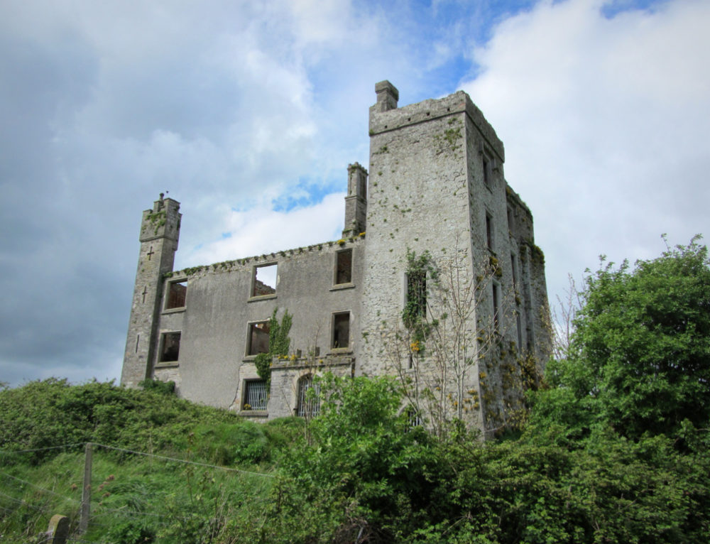 CastleCastle, ringwork · 318 yd
 St. Finian of ClonardMonument · 685 yd
 Croppies' GraveMemorial · 1583 yd
 Abandoned Kinnegad CanalWood · 1.1 mi
 Queen Marys CastleCastle, tower house · 1.8 mi
 Rahin WoodsForest · 3.6 mi
 The Grill ShackHeritage attraction · 11 mi
 Conolly's FollyHeritage attraction · 19 mi
 Ash HillMountain / peak · 20 mi
Other information
Photo: Credit not shown in the picture search · Rights wording not checked; contact us if this picture should be removed