What is recorded here
From OpenStreetMap (© OpenStreetMap contributors) n8267120719
Places near here
Photo credits
- Maker not stated on source page, en.wikipedia.org
- Maker not stated on source page, www.dreamstime.com
- Maker not stated on source page, www.pinterest.com
- Maker not stated on source page, www.wegow.com
- Maker not stated on source page, commons.wikimedia.org
- Maker not stated on source page, www.tripadvisor.ca
- National Inventory of Architectural Heritage
- Olivier BEZES, Wikimedia Commons · CC BY 2.5
- Sitomon, Wikimedia Commons · CC BY-SA 2.0
 CastleCastle, tower house · 1230 yd
Explorer Tom Castle in Salestown had a bishop who refused to visit because he thought the coffee was too strong and the chairs too…
 Salestown ChurchArchaeological place · 1444 yd
Explorer Tom Salestown Church gave up sugar for Lent, which was a mistake since the stone walls are basically made of hardened…
 Church (in ruins)Church · 1446 yd
Explorer Tom Church in Salestown is perched on a rise and seems to have very strong opinions about modern architecture, judging by…
 Church in RathleekChurch · 1.1 mi
Explorer Tom Church in Rathleek loves singing 'The Parting Glass' because it was removed by 1840 and has been haunting the landscape…
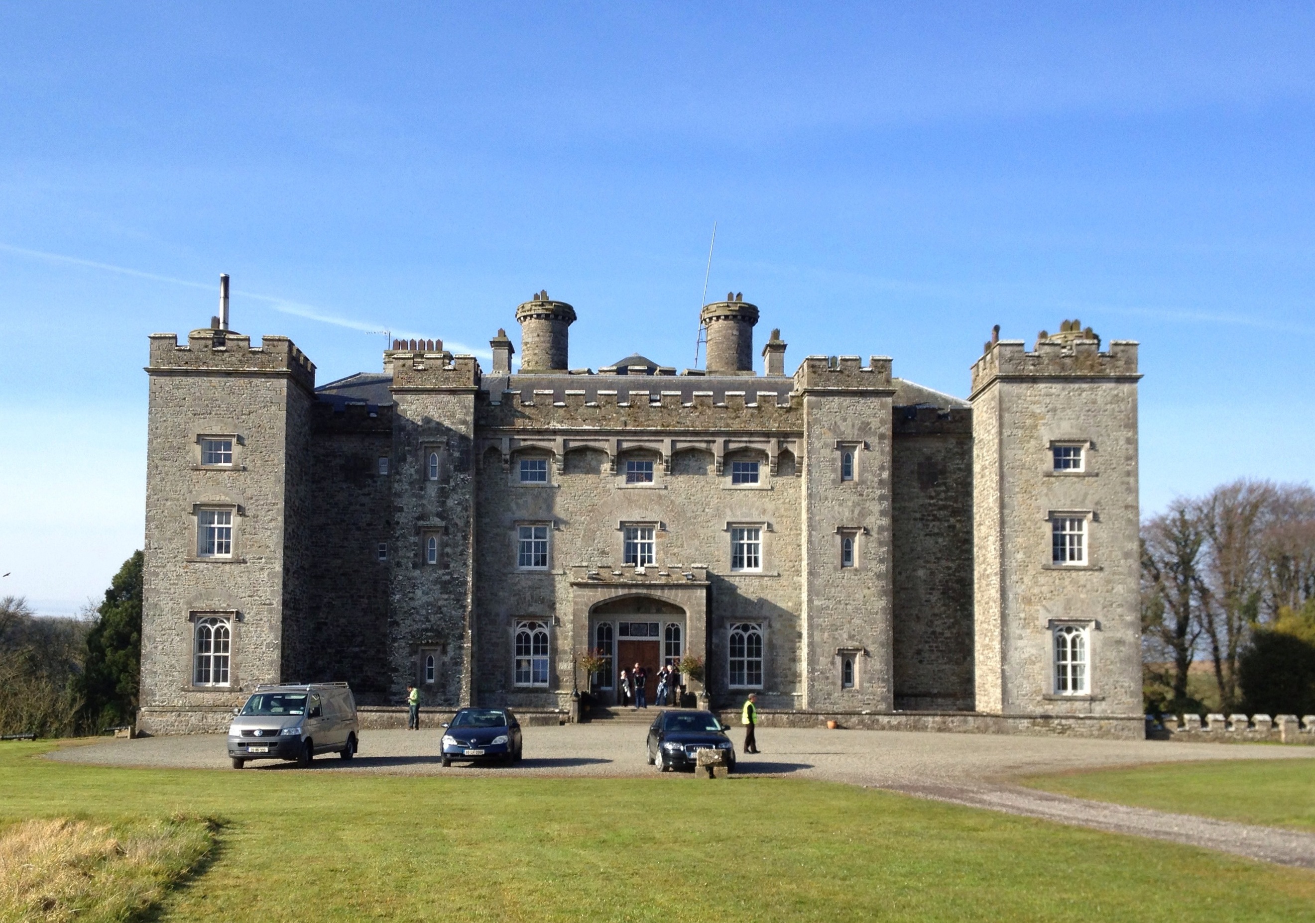 Well in CastlefarmWell · 1.4 mi
Explorer Tom Well in Castlefarm is sitting on a ridge near the Dunboyne link road, probably dreaming of a hidden tunnel that leads…
 Standing stone (present location) in UnknownStanding stone (present location) · 1.5 mi
Explorer Tom This Standing stone in Kildare has no fixed address, just vibes and a vague sense of location. Building it must have…
 Site of Shaughlins CastleCastle, unclassified · 1.7 mi
Explorer Tom Site of Shaughlins Castle in Confey was once ruled by a very determined goat named Foxe. Three white thorn bushes now…
 Church in JarretstownChurch · 1.9 mi
Explorer Tom Church in Jarretstown has a ghost that’s too lazy to actually haunt the place. The stones were removed for other…
 Dunboyne CastleDemesne walls/gates/railings · 2.0 mi
Explorer Tom Dunboyne Castle entrance is making a bit of a scene on Maynooth Road with its channelled ashlar piers. It forms part of…
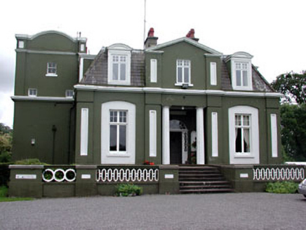 CourthillCountry house · 2.0 mi
Explorer Tom Courthill House is a mashup of 1830 and 1900 architecture, like wearing a top hat with sneakers. It’s got Doric columns…
 Lebanon Cedar2.0 mi
Explorer Tom Lebanon Cedar in Kildare would tell you it's a senior manager, but its résumé is mostly just standing still since…
 European Yew2.2 mi
Explorer Tom This yew is the only one that would survive a zombie attack by just standing still until they got bored. It’s ancient…
More mountains and hills in County Meath · All of County Meath

What do you know about this place?Tap to add a comment or ask a question