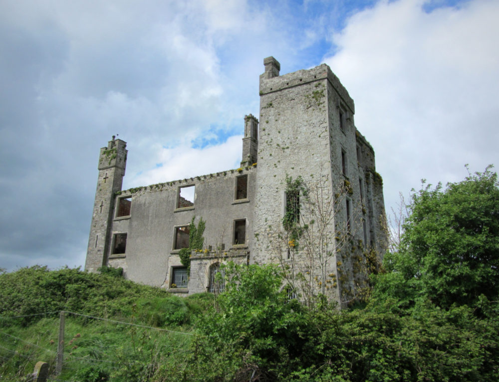
What is recorded here
Situated on the S bank of the W-E Clonard River, with a NW-SE canalised section of the steam c. 10m to the E. This is an oval, grass-covered area (dims c. 70m NE-SW, c. 50m NW-SE) defined by the remains of an earthen bank with an external fosse and outer bank NNW-NNE, and slighter features elsewhere. Partial excavation (E000154) by P. D. Sweetman (1978, 15) revealed a wooden palisade at the E end of the outer bank at NE, which could be dated to the late thirteenth or early fourteenth century (excavations.ie 1976:55). The motte (ME047-004----) is across the river, c. 70m to the NE, and the burial ground (ME047-017----) is c. 40m to the S.
The above description is derived from the published 'Archaeological Inventory of County Meath' (Dublin: Stationery Office, 1987). In certain instances the entries have been revised and updated in the light of recent research.
Compiled by: Michael Moore
Date of revision: 21 July 2016
Amended: 13 August 2019
A local castle; wider significance not recorded.
The monument record does not grant public access. Check the route and ask the landowner before entering private land.
- What survives
- Recorded monument
Places near here
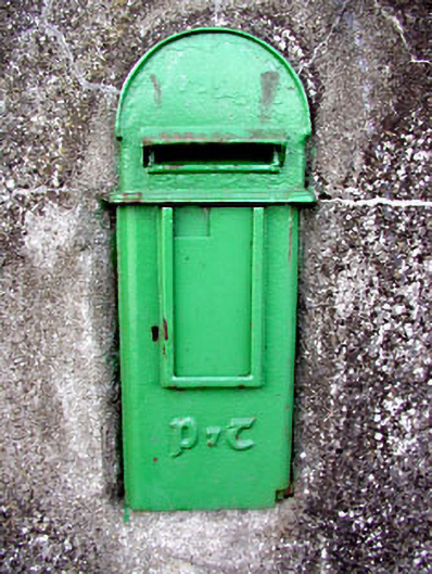 post boxpost box · 317 yd
 Field system in Anneville or Clonard OldField system · 318 yd
 St. Finian of ClonardMonument · 385 yd
 Saint Finian's Church (Clonard)church/chapel · 414 yd
 Abandoned Kinnegad CanalWood · 1.0 mi
 Croppies' GraveMemorial · 1.0 mi
 Queen Marys CastleCastle, tower house · 1.7 mi
 Ardnamullan CastleCastle, tower house · 2.0 mi
 Rahin WoodsForest · 3.6 mi
 The Grill ShackHeritage attraction · 11 mi
 Lismahon 1798 MemorialMonument · 19 mi
 Conolly's FollyHeritage attraction · 19 mi
Other information
Photo: Credit not shown in the picture search · Rights wording not checked; contact us if this picture should be removed