
What is recorded here
Situated on a slight E-W ridge. According to the Civil Survey (1654-56) Sir Luke FitzGerald owned 166 acres at Ardnemullan and Aghnegalliah in 1640, and on the premises was ‘one castle’ (Simington 1940, 188). The castle is depicted on the Down Survey (1656-8) map of Moyfenrath barony as two, two storey towers, one with a chimney, connected by a wing (http://downsurvey.tcd.ie/). The SW corner of a rectangular structure (H c. 4m) that was probably a tower house survived up to May 1985 when it was pulled down.
The above description is derived from the published 'Archaeological Inventory of County Meath' (Dublin: Stationery Office, 1987). In certain instances the entries have been revised and updated in the light of recent research.
Compiled by: Michael Moore
Date of revision: 13 July 2016
was built by Sir Luke FitzGerald in the early 17th century, as recorded in the Civil Survey of 1654-56. It is remembered as a historic stronghold associated with the influential FitzGerald family in the region.
The monument record does not grant public access. Check the route and ask the landowner before entering private land.
- What survives
- Recorded monument
Places near here
 Chapel of EaseChapel · 1.1 mi
 Queen Marys CastleCastle, tower house · 1.2 mi
 Kinnegad Bridgebridge · 1.4 mi
 Font (present location) in TowlaghtFont (present location) · 1.7 mi
 St. Finian of ClonardMonument · 1.8 mi
 Abandoned Kinnegad CanalWood · 2.5 mi
 Croppies' GraveMemorial · 2.6 mi
 Rahin WoodsForest · 3.2 mi
 Site of CastleCastle, unclassified · 3.4 mi
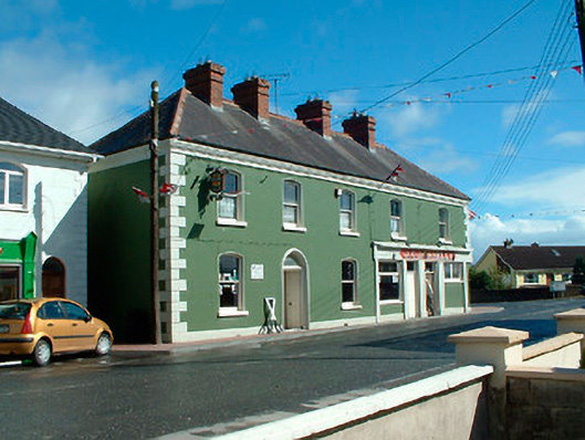 J.C. Donnellyhouse · 1.5 mi
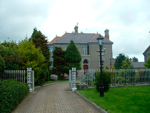 Catholic Church of the Assumptionpresbytery/parochial/curate's house · 1.6 mi
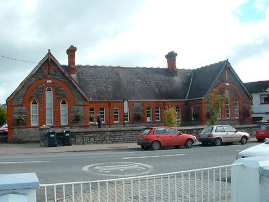 Kinnegad National Schoolschool · 1.7 mi
Other information
Photo: Credit not shown in the picture search · Rights wording not checked; contact us if this picture should be removed