What is recorded here
Circa 2.7m to the W of an enclosure (GA086-233001-). This roughly rectangular structure (L 12.8m; Wth 5.5m) is defined by a low regular grassed-over stony bank. It is orientated NE-SW and is best preserved along the SE and SW sides. It is barely traceable along the NE side and a pit has been dug into the NW side. It is unclear if this feature is related to the enclosure; it may be later in date. Another similar structure (GA086-233003-) lies to the S of the enclosure.
Compiled by: Olive Alcock
Date of upload: 9 November 2016
The monument record does not grant public access. Check the route and ask the landowner before entering private land.
- What survives
- Recorded monument
Places near here
 Enclosure in Treanbaun (kilconnell By.)Enclosure · 1 yd
 LismoreEnclosure · 1201 yd
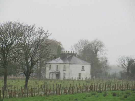 Rathglass Housecountry house · 1481 yd
 Quarry in Castlebin NorthQuarry · 1.1 mi
 Site of Lisnamoltaun CastleCastle, unclassified · 1.7 mi
 CastleCastle, unclassified · 1.9 mi
 Large-leaved LimeLarge-leaved Lime · 3.1 mi
 Woodlawn WoodsForest · 3.3 mi
 Dartfield Horse MuseumHeritage attraction · 4.2 mi
 Kilconnell AbbeyHeritage attraction · 4.2 mi
 Battle of Aughrim Interpretative CentreMuseum · 6.2 mi
 Battle of AughrimMajor battlefield · 6.3 mi