
What is recorded here
In level grassland within the former Rathglass Demesne. Rectangular overgrown enclosure (N-S 38.8m, E-W 35.5m), in fair condition, defined by an inner bank, an intervening fosse and an outer bank. The latter survives only on S side and the fosse on E, S and W sides. Numerous small modern breaches occur, and a field fence surrounds E, S and W sides. There is a stony depression in N section of the interior.
The above description is derived from the published 'Archaeological Inventory of County Galway Vol. II - North Galway'. Compiled by Olive Alcock, Kathy de hÓra and Paul Gosling (Dublin: Stationery Office, 1999).
Date of upload: 05 August 2010
A local fairy fort (ringfort/rath); wider significance not recorded.
The monument record does not grant public access. Check the route and ask the landowner before entering private land.
- What survives
- Recorded monument
Places near here
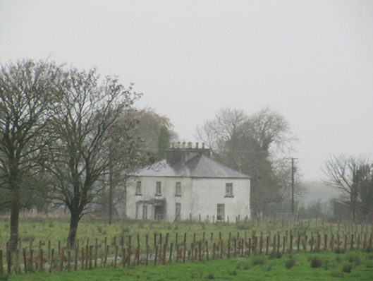 Rathglass Housecountry house · 454 yd
 Enclosure in Treanbaun (kilconnell By.)Enclosure · 1201 yd
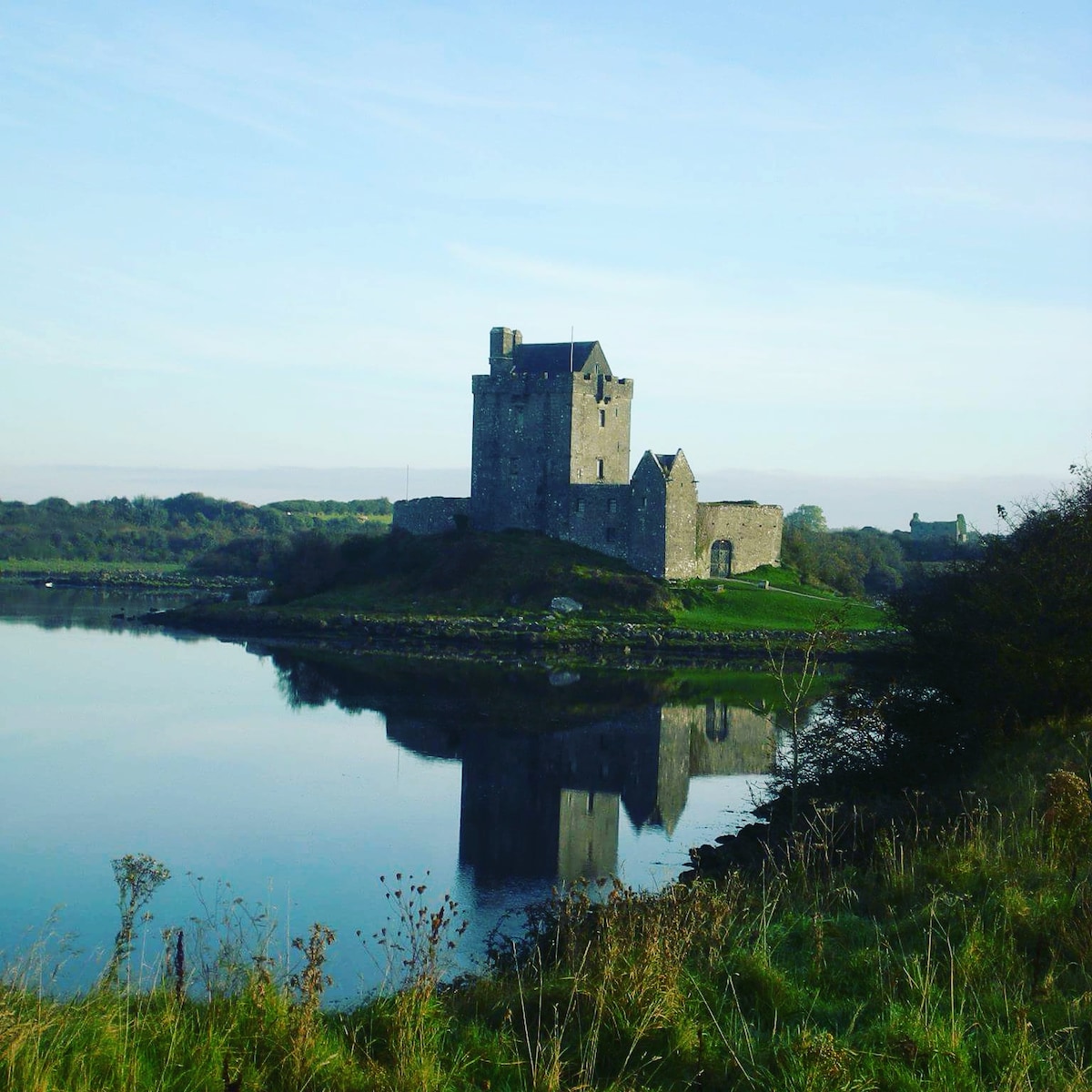 R.C. ChapelChurch · 1.2 mi
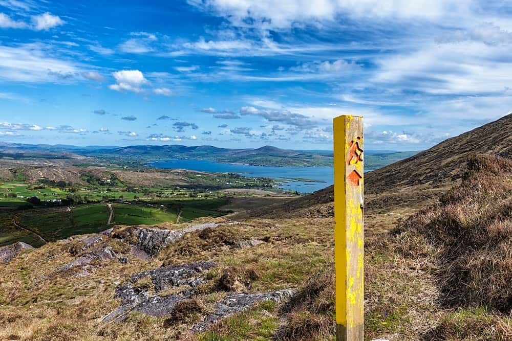 IndicatedField system · 1.2 mi
 Site of Lisnamoltaun CastleCastle, unclassified · 2.1 mi
 CastleCastle, unclassified · 2.3 mi
 Woodlawn WoodsForest · 3.2 mi
 Large-leaved LimeLarge-leaved Lime · 3.2 mi
 Turoe StoneHeritage attraction · 4.0 mi
 Dartfield Horse MuseumHeritage attraction · 4.1 mi
 Battle of Aughrim Interpretative CentreMuseum · 6.8 mi
 Battle of AughrimMajor battlefield · 7.0 mi
Other information
Photo: Credit not shown in the picture search · Rights wording not checked; contact us if this picture should be removed