What is recorded here
Fairy fort in Carra, County Galway: an almost circular earthen ringfort, 39.8m east-west and 38.3m north-south, set in gently undulating grassland. Its bank still stands except where a scarp takes over at the south and from northwest to north, while faint inner stone-facing and possible internal division banks remain within. A field wall now cuts across the northwest and northeast, marking how much later hands have shaped the same ground.
In gently undulating grassland. An almost circular rath (39.8m E-W; 38.3m N-S), in fair condition, defined by a bank except at S and from NW to N where a scarp forms the enclosing element. Traces of inner stone-facing survive intermittently. The monument is cut by a field wall at NNW and NNE. Within the interior a series of earthen banks may be associated internal divisions.
Compiled by: Galway Archaeological Survey, UCG
Date of upload: 23 January 2017
The monument record does not grant public access. Check the route and ask the landowner before entering private land.
- What survives
- Recorded monument
Places near here
 Man-made underground passage in Carra (loughrea By.)Man-made underground passage · 550 yd
 Field system in Carra (loughrea By.)Field system · 626 yd
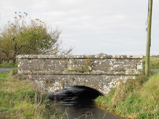 Carra Bridgebridge · 1535 yd
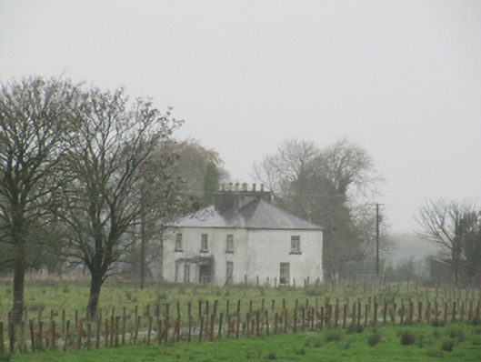 Rathglass Housecountry house · 1.2 mi
 Dartfield Horse MuseumHeritage attraction · 2.7 mi
 Drought Castle (in Ruins)Castle, tower house · 2.7 mi
 Turoe StoneHeritage attraction · 3.1 mi
 Galboley Castle (in ruins)Castle, unclassified · 3.2 mi
 Woodlawn WoodsForest · 4.6 mi
 Large-leaved LimeLarge-leaved Lime · 4.6 mi
 Bush IslandIslet · 5.7 mi
 Middle IslandIslet · 5.7 mi