
What is recorded here
To the W and S of a possible enclosure (GA098-056001-). A series of poorly preserved low earthen banks cover an area of c. 100m by c. 60m. Three rectangular fields (L c. 30m; Wth c. 20m) and traces of a possible roadway were visible.
Compiled by: Galway Archaeological Survey, UCG
Date of upload: 22 July 2019
The monument record does not grant public access. Check the route and ask the landowner before entering private land.
- What survives
- Recorded monument
Places near here
 Enclosure in Carra (loughrea By.)Enclosure · 76 yd
 Man-made underground passage in Carra (loughrea By.)Man-made underground passage · 827 yd
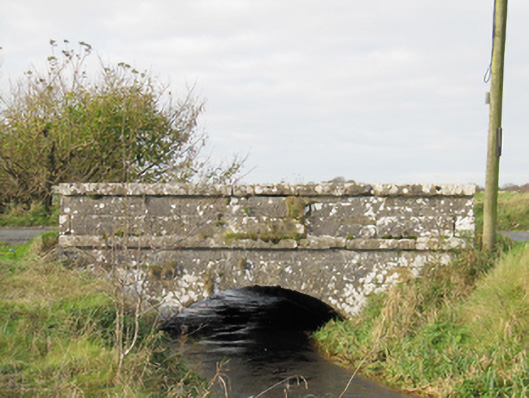 Carra Bridgebridge · 1151 yd
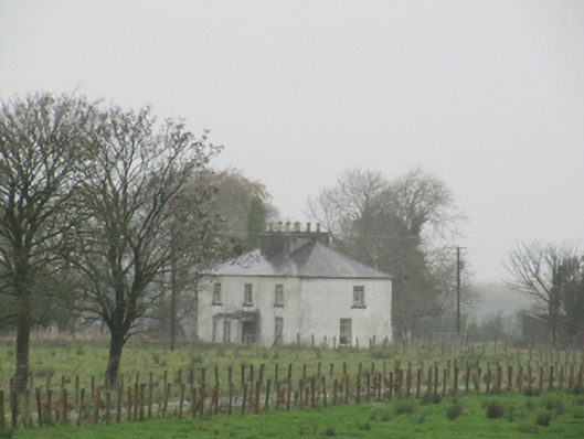 Rathglass Housecountry house · 1.2 mi
 Turoe StoneHeritage attraction · 2.9 mi
 Drought Castle (in Ruins)Castle, tower house · 2.9 mi
 Galboley Castle (in ruins)Castle, unclassified · 2.9 mi
 Dartfield Horse MuseumHeritage attraction · 2.9 mi
 Woodlawn WoodsForest · 4.4 mi
 Large-leaved LimeLarge-leaved Lime · 4.6 mi
 Bush IslandIslet · 5.6 mi
 Middle IslandIslet · 5.7 mi
Other information
Photo: Credit not shown in the picture search · Rights wording not checked; contact us if this picture should be removed