
What is recorded here
In pastureland. Marked on the 1838 edition of the OS 6-inch map as a subtriangular enclosure (c. 14m NW-SE; c. 12m NE-SW). On inspection in March 1984 the site had been extensively quarried out and all that survived was a mainly earthen bank (Wth 2.8m; H 1-1.4m) curving from E through S to W; there were quarries immediately to its N and S. Traces of a possible field system (GA098-056002-) were visible to the S and W.
Compiled by: Galway Archaeological Survey, UCG
Date of upload: 22 July 2019
The monument record does not grant public access. Check the route and ask the landowner before entering private land.
- What survives
- Recorded monument
Places near here
 Field system in Carra (loughrea By.)Field system · 76 yd
 Man-made underground passage in Carra (loughrea By.)Man-made underground passage · 902 yd
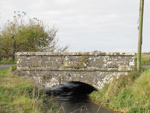 Carra Bridgebridge · 1169 yd
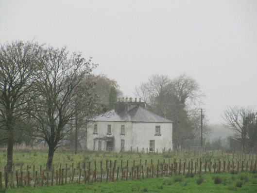 Rathglass Housecountry house · 1.2 mi
 Turoe StoneHeritage attraction · 2.9 mi
 Galboley Castle (in ruins)Castle, unclassified · 2.9 mi
 Drought Castle (in Ruins)Castle, tower house · 2.9 mi
 Dartfield Horse MuseumHeritage attraction · 2.9 mi
 Woodlawn WoodsForest · 4.4 mi
 Large-leaved LimeLarge-leaved Lime · 4.5 mi
 Bush IslandIslet · 5.7 mi
 Middle IslandIslet · 5.7 mi
Other information
Photo: Credit not shown in the picture search · Rights wording not checked; contact us if this picture should be removed