
What is recorded here
In undulating farmland. A poorly preserved roughly rectangular enclosure (NE-SW c. 40m, E-W c. 32m) defined by a bank from NE to ENE, and from SSW to SW; elsewhere a scarp forms the enclosing element. Traces of internal stone revetment are visible at SE and NW. A field boundary cuts the monument from NNE to SSW and a Man-made underground passage (GA086-233002-) lies within NE quadrant of the interior. Traces of three rectangular structures, defined by low stony banks, are visible to SSE, SSW and W.
The above description is derived from the published 'Archaeological Inventory of County Galway Vol. II - North Galway'. Compiled by Olive Alcock, Kathy de hÓra and Paul Gosling (Dublin: Stationery Office, 1999).
Date of upload: 05 August 2010
The monument record does not grant public access. Check the route and ask the landowner before entering private land.
- What survives
- Recorded monument
Places near here
 LismoreEnclosure · 1201 yd
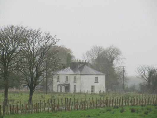 Rathglass Housecountry house · 1481 yd
 Quarry in Castlebin NorthQuarry · 1.1 mi
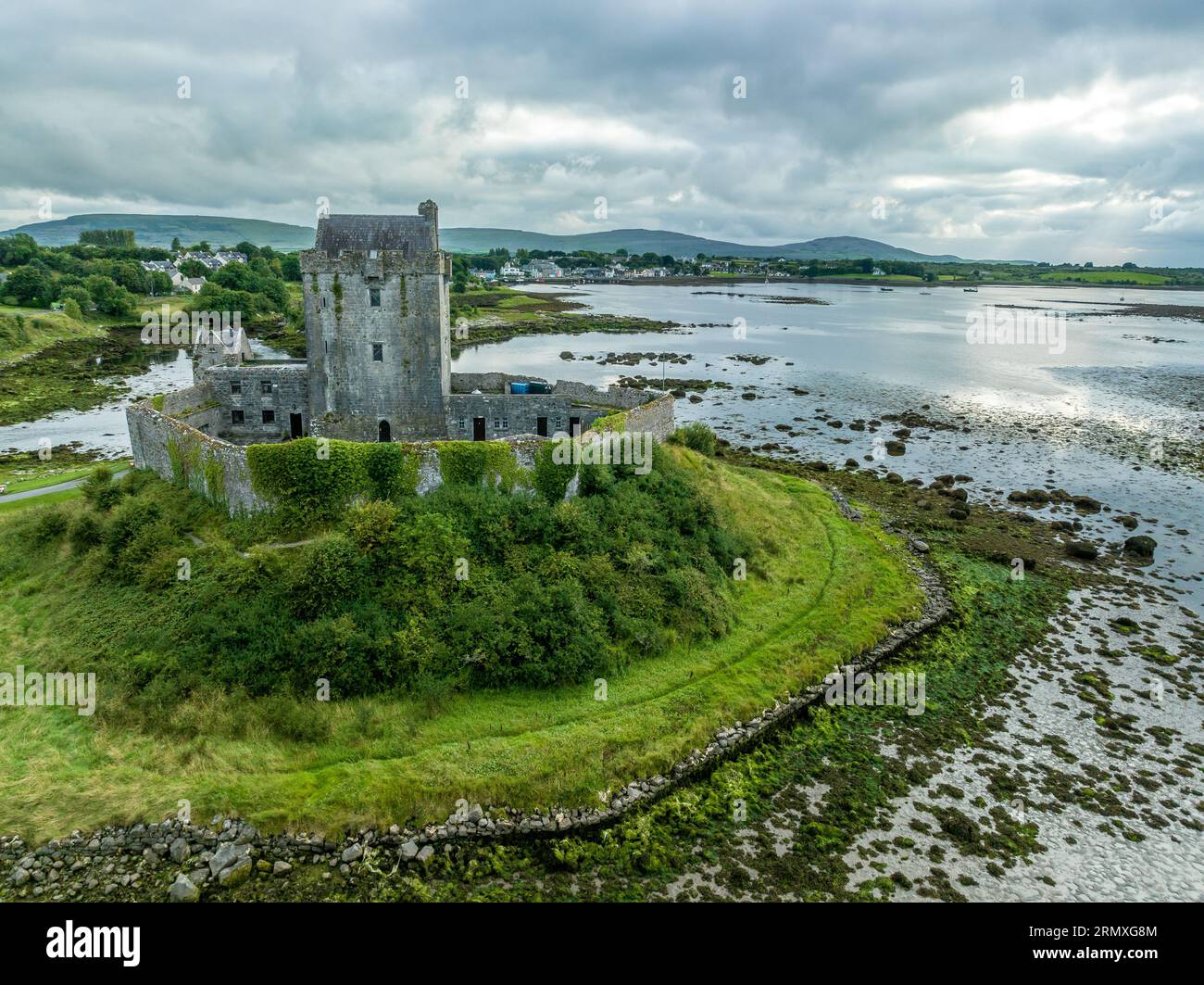 Man-made underground passage in BallymabillaMan-made underground passage · 1.1 mi
 Site of Lisnamoltaun CastleCastle, unclassified · 1.7 mi
 CastleCastle, unclassified · 1.9 mi
 Large-leaved LimeLarge-leaved Lime · 3.1 mi
 Woodlawn WoodsForest · 3.3 mi
 Dartfield Horse MuseumHeritage attraction · 4.2 mi
 Kilconnell AbbeyHeritage attraction · 4.2 mi
 Battle of Aughrim Interpretative CentreMuseum · 6.2 mi
 Battle of AughrimMajor battlefield · 6.3 mi
Other information
Photo: Credit not shown in the picture search · Rights wording not checked; contact us if this picture should be removed