What is recorded here
Circa 10.4m to the S of an enclosure (GA086-233001-). This roughly rectangular structure (L 10.7m; Wth 5m) is defined by a low regular grassed-over stony bank (int. H 0.4m; ext. H 0.2m; Wth 1.2m). It is orientated NE-SW and is best preserved along the NW and SW sides. Traces of the SE side are evident but there is no visible surface trace of the NE side. It is unclear if this feature is related to the enclosure; it may be later in date. Another similar structure (GA086-233004-) lies to the W of the enclosure.
Compiled by: Olive Alcock
Date of upload: 9 November 2016
The monument record does not grant public access. Check the route and ask the landowner before entering private land.
- What survives
- Recorded monument
Places near here
 Enclosure in Treanbaun (kilconnell By.)Enclosure · 1 yd
 LismoreEnclosure · 1201 yd
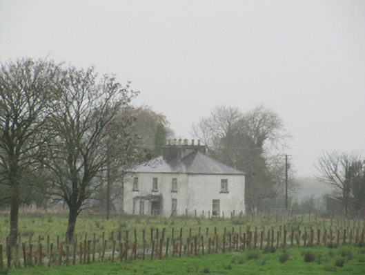 Rathglass Housecountry house · 1481 yd
 Quarry in Castlebin NorthQuarry · 1.1 mi
 Site of Lisnamoltaun CastleCastle, unclassified · 1.7 mi
 CastleCastle, unclassified · 1.9 mi
 Large-leaved LimeLarge-leaved Lime · 3.1 mi
 Woodlawn WoodsForest · 3.3 mi
 Dartfield Horse MuseumHeritage attraction · 4.2 mi
 Kilconnell AbbeyHeritage attraction · 4.2 mi
 Battle of Aughrim Interpretative CentreMuseum · 6.2 mi
 Battle of AughrimMajor battlefield · 6.3 mi