
What is recorded here
Situated on a S-facing slope and on the NW side of Main Street. An archaeological rescue excavation and watching brief (E000404) in 1987 uncovered evidence of a medieval building (ME036-048046-) and other features. In the course of the watching brief a substantial wall (L 8m plus; Wth of base 1.8m; max. H 1m) with…
Read the whole record
From the National Monuments Service (Archaeological Survey of Ireland) record ME036-048050
Places near here
Photo credits
- National Inventory of Architectural Heritage
- Blackfriary Archaeology Field School; photographer not stated, Blackfriary Archaeology Field School
- William Murphy from Dublin, Ireland, Wikimedia Commons · CC BY-SA 2.0
- Maker not stated on source page, www.tripadvisor.ru
- Denis O'Donovan, Wikimedia Commons
- Trim GAA club; individual photographer not stated, trimgaa.com
- Golfing in Ireland; photographer not stated, Source publisher
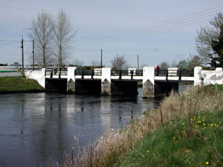 Watergate BridgeBridge · 189 yd
Explorer Tom Watergate Bridge in Trim is having a massive row with the next village over something daft. It was built in 1904, so…
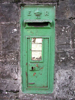 post box360 yd
Explorer Tom Post box in Townparks North is a cast-iron beauty with well-executed lettering and a crown that really stands out. It’s…
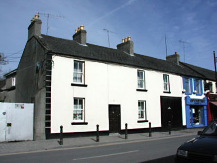 Castleview HouseHouse · 387 yd
Explorer Tom Castleview House in Townparks South, County Meath was built on a bargain where the builder got paid in compliments. The…
 The Blackfriary Community Heritage and Archaeology ProjectArchaeological place · 414 yd
Explorer Tom The Blackfriary in Trim looks more like a green field with a secret than the proud stone walls you might expect from a…
 Field boundary in BlackfriaryField boundary · 506 yd
Explorer Tom Field boundary in Blackfriary really means 'where the nuns kept their secret garden,' or so I’m told. It’s a remnant…
 Lackanash CottageHouse · 534 yd
Explorer Tom Lackanash Cottage in Lackanash, County Meath once had a cow try to buy it with a single udder. The canted bay window is…
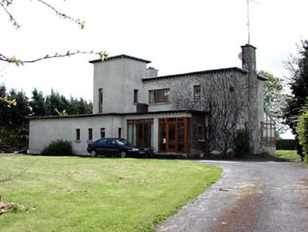 White LodgeHouse · 562 yd
Explorer Tom White Lodge in Trim does something embarrassing when nobody is looking, probably rearranging its own tall tower. The…
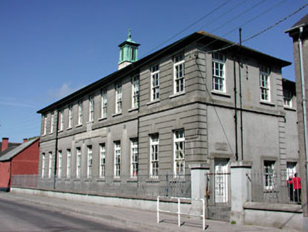 Saint Mary's Convent National SchoolSchool · 575 yd
Explorer Tom Saint Mary's Convent National School is complaining to the council about its own cool facade again. It just wants…
 Maudlin CemeteryCemetery · 745 yd
Explorer Tom Maudlin Cemetery in County Meath ended up in the wrong place because someone misread the map and thought ‘Meath’ was a…
 PorchfieldPark · 789 yd
Explorer Tom Trim's Porchfield spreads beside the Boyne, turning the stretch between castle and Newtown into a walk where medieval…
 Trim GAAGAA ground · 1053 yd
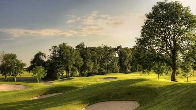 Knightsbrook Golf ClubGolf course · 1172 yd
More archaeology and monuments in County Meath · All of County Meath

What do you know about this place?Tap to add a comment or ask a question