
What is recorded here
The remains of a C-shaped structure were discovered during archaeological monitoring and were subsequently excavated in advance of the construction of the N8 Rathcormac-Fermoy Bypass. The structure was found c. 160m to the W of a rath (CO053-010----) which was partially excavated and radiocarbon dated to AD 620-690.…
Read the whole record
From the National Monuments Service (Archaeological Survey of Ireland) record CO053-096
Places near here
Photo credits
- Kmcnamee, Wikimedia Commons · CC BY-SA 4.0
- Jonathan Billinger, Geograph · Creative Commons Attribution-ShareAlike 2.0
- Maker not stated on source page, www.flickr.com
- National Inventory of Architectural Heritage
- Jonathan Thacker, Geograph · Creative Commons Attribution-ShareAlike 2.0
- Maker not stated on source page, global-geography.org
- Maker not stated on source page, www.dreamstime.com
- Maker not stated on source page, commons.wikimedia.org
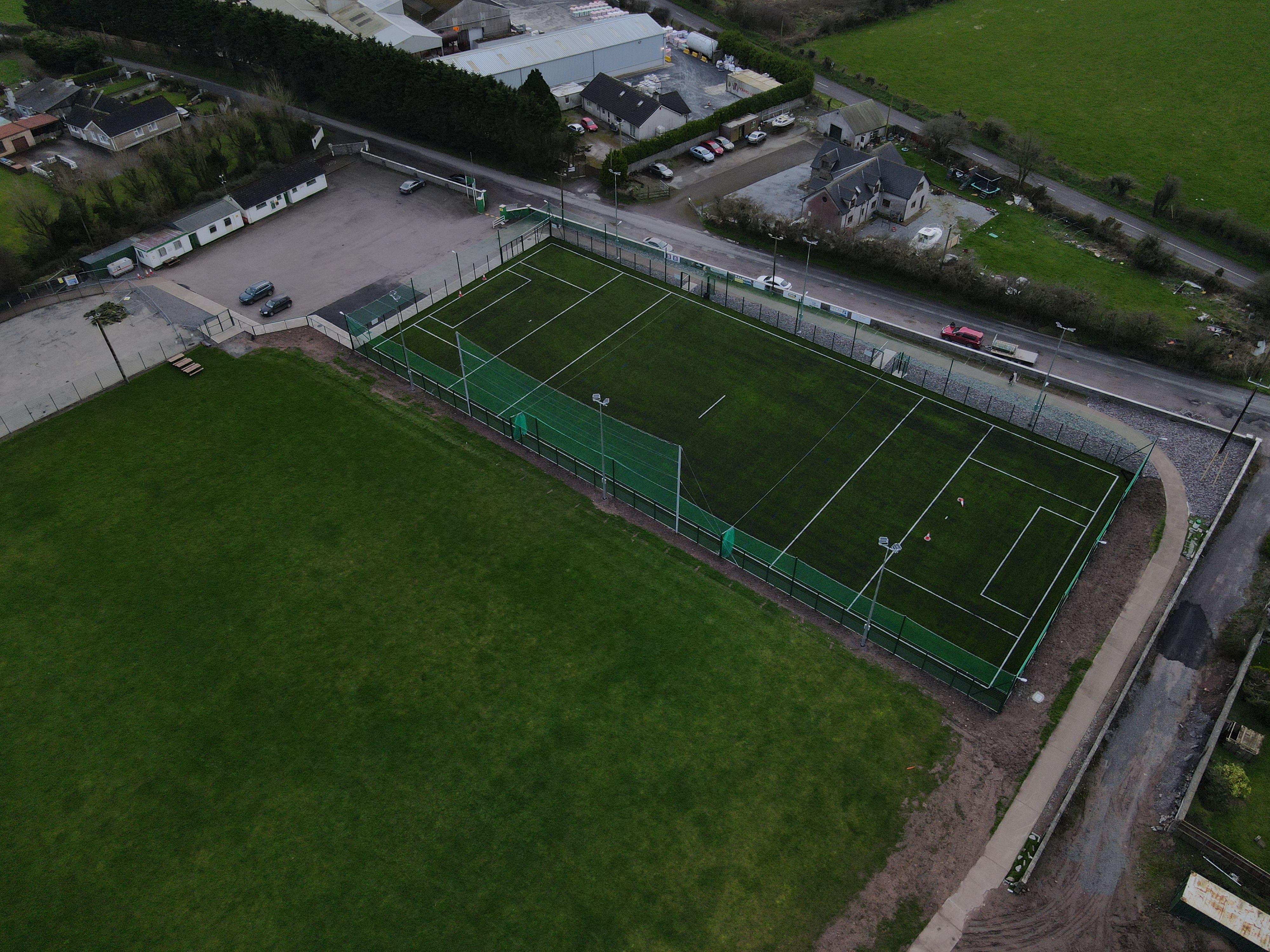
- Hourihan (pitch contractor and image source; individual photographer not named), www.hourihan.ie
 Watergrasshill GAA pitchGAA ground · 810 yd
 Church of the Immaculate ConceptionChurch/chapel · 1.1 mi
Explorer Tom Church of the Immaculate Conception in Tinageragh is using terracotta surrounds on its clerestory windows, which is a…
 Site of ChurchChurch · 1.2 mi
Explorer Tom Site of Church in Ballinaltig was once ruled by a goat who ate all the ivy and declared itself the new parish priest…
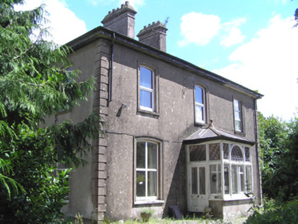 presbytery/parochial/curate's house1.2 mi
Explorer Tom Presbytery in Mitchellsfort has a front porch with high craftsmanship and segmental window openings that look very…
 Scartbarry HouseHouse · 1.3 mi
Explorer Tom Scartbarry House was built by Abraham Wilson and is massive for just twenty-six acres of land, which feels like wearing…
 Watergrasshill Church of Ireland ChurchChurch/chapel · 1.4 mi
Explorer Tom Watergrasshill Church of Ireland Church is now an arts centre because it had strong opinions about modern buildings. It…
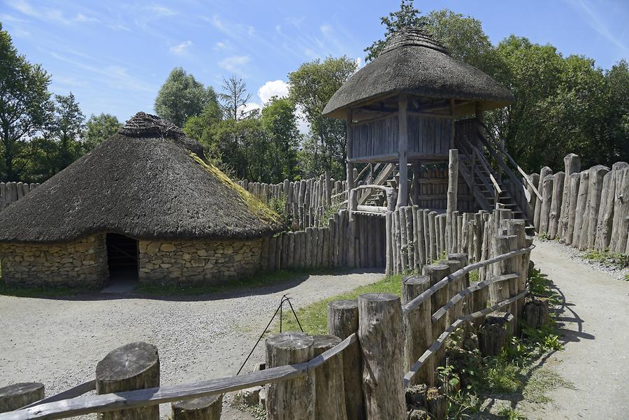 Fairy fort / earthen ringfort in Bishop's Island (barrymore By., Ardnageehy Par.)Fairy fort / earthen ringfort · 1.7 mi
Explorer Tom Fairy fort / earthen ringfort in Bishop's Island, County Cork is overgrown with briars and ferns, which sounds like a…
 Ogham stone in Bishop's Island (barrymore By., Ardnageehy Par.)Ogham stone · 1.8 mi
Explorer Tom Ogham stone in Bishop's Island was found in a wall and now lives in a university corridor, but it used to be here. The…
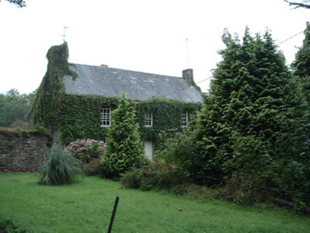 Bushy Park HouseHouse · 1.8 mi
Explorer Tom Bushy Park House acts grander than its size allows, probably hiding a scandal from the early nineteenth century…
 Standing stone in Ballinlegane (barrymore By.)Standing stone · 2.5 mi
Explorer Tom A tiny standing stone in Ballinlegane says it has great leadership skills in a job interview, but nobody can find its…
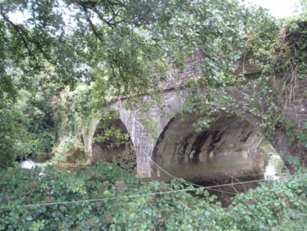 Corbally BridgeBridge · 2.6 mi
Explorer Tom Corbally Bridge is all about those V-cutwaters stopping floods from messing up its foundations. I heard Queen Victoria…
 White's Cross GAA pitchGAA ground · 6.9 mi
More archaeology and monuments in County Cork · All of County Cork

What do you know about this place?Tap to add a comment or ask a question