
What is recorded here
Situated on a SW-facing slope, close to the base of a drumlin ridge. Most of the field comprises well-drained pasture. However, a small area of the SW end, where the monument is located, is poorly-drained and wet. A substantial drain, aligned NW-SE, is just c.15m SW of the site. The structure was exposed during excavation for sand by the landowner. A strip of topsoil (c.8.2m NE-SW; c.2m NE-SW- D 0.3m - 0.7m) had been removed when a roofstone of the structure was displaced and works ceased. The removal of the roofstone allowed limited visual access to small portion of what is probably a more extensive structure. On inspection in 2011 the exposed remains comprised a length of passage (L c.2.2m; Wth. 0.6m; H c.0.4m) walled by a single course of large stones (one measures 0.4m in height and 0.35 in width) set on edge. It was roofed with seven large flat slabs, six of which are in situ. Two of the roofstones are located at the NE end of the passage. To the SW of these was the roofstone (dims. 0.74m x 0.36m - T 0.19m) which was displaced by the digger and drew attention to the monument. Four others are visible to the SW of this. The furthest SW has split into two roughly equal portions. Probing revealed what appears to be a solid floor, probably of packed earth, beneath the present soil level. Both ends of the passage are blocked by earth and stone collapse. One face of the displaced roofstone and the inner face of all of the others are blackened. However there is no evidence of burning on the stones that comprise the side walls. The reason of the discoloration of the roofstones is unknown. It has been suggested that this may be a naturally occurring phenomenon, a consequence of a chemical reaction between stone and soil types. Some tiny fragments of unknown material, possibly soil, have also been exposed. The available evidence suggests that this is a box-drain of post-1700 AD date.
Compiled by: Patrick F. O'Donovan
Date of upload: 26 August 2011
The monument record does not grant public access. Check the route and ask the landowner before entering private land.
- What survives
- Recorded monument
Places near here
 Esker SchoolRuins · 708 yd
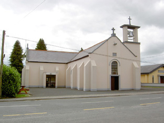 Saint Mary's Catholic Churchchurch/chapel · 1216 yd
 Enclosure in Aghaboy (longford By.)Enclosure · 1636 yd
 Man-made underground passage in BundoonMan-made underground passage · 1.6 mi
 Bully's Acregraveyard/cemetery, unknown · 2.3 mi
 CastleCastle, Anglo-Norman masonry castle · 4.7 mi
 Bawn in LissardowlanBawn · 4.7 mi
 Saint Mel's CathedralCathedral · 5.1 mi
 First World War MemorialMemorial · 5.3 mi
 Graveyard in Curry (ardagh By., Coolamber Ed)Graveyard · 7.9 mi
 Granard MotteMotte-and-bailey castle remains · 8.8 mi
 1798 Monumentmonument · 8.8 mi
Other information
Photo: Credit not shown in the picture search · Rights wording not checked; contact us if this picture should be removed