What is recorded here
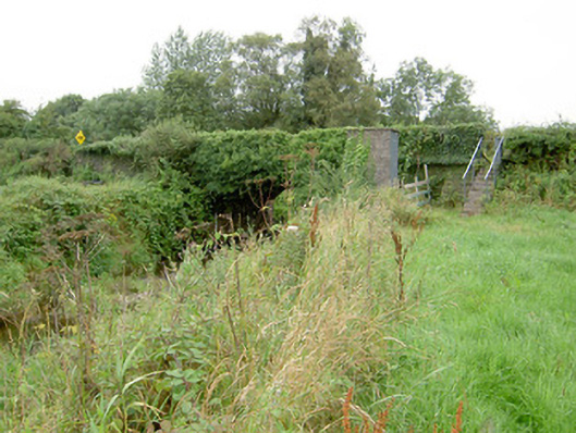
Aghaga Bridge in Killeter has beautifully worked limestone buried under ivy, the stonework equivalent of getting your hair done for a wedding and arriving in a balaclava. Somewhere beneath that hedge is a mason still demanding you come round and look properly.
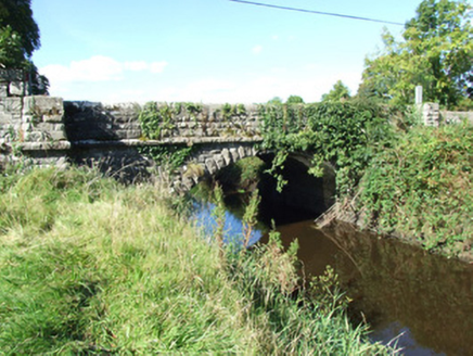
Single-arch road bridge over the Camlin River, built c. 1860. Constructed of coursed rock-faced limestone with rounded dressed limestone coping over parapet walls. Terminating piers to either side of arch having splayed bases and with dressed limestone coping over. Dressed limestone string courses to base of piers. Segmental-headed arch with rock-faced limestone voussoirs. Squared coursed dressed limestone to barrel and abutments. Bridge largely overgrown with ivy. Located to the west of Ballinalee, pump house and flight of steps adjacent to the southwest. Rubble stone wing walls to either side (north and south); portion of northwest wing wall rebuilt
A robustly-built small-scale bridge, of mid nineteenth-century appearance, which is a pleasing feature in the rural landscape of County Longford. This bridge shows evidence of highly skilled craftsmanship in its stonemasonry. The good quality heavily rock-faced masonry is a typical feature of the many bridges built throughout Ireland by the Board of Works/Office of Public Works during the mid-to-late nineteenth century, and particularly between c. 1847 - 60, suggesting that they may have been responsible for its construction. This bridge is similar in form to a number of other bridges over the Camlin River and its tributaries in the area, including a bridge at Aghaboy (13400907) to the east, which suggests that it was built as part of a general drainage and/or bridge building programme. The present structure replaced an earlier bridge at this site (Ordnance Survey first edition six-inch map 1838), which indicates that this has been a crossing point of the Camlin River for a considerable period. The rubble stone wing walls to either side probably contain fabric from this earlier bridge.
From the Buildings of Ireland (National Inventory of Architectural Heritage) record 13400908
This does not grant access. Most recorded buildings are privately owned; view them only from public ground unless the owner allows entry.
Places near here
Photo credits
- National Inventory of Architectural Heritage
- 瑞丽江的河水, Wikimedia Commons · CC BY-SA 4.0
- Alvesgaspar, Wikimedia Commons · CC BY-SA 3.0
- Algirdas at Lithuanian Wikipedia, Wikimedia Commons · Public domain
- Granard Motte.png : Smcq Derivative work: Hogweard, Wikimedia Commons · CC BY-SA 3.0
- 2ManyCats4Me, Wikimedia Commons · CC0
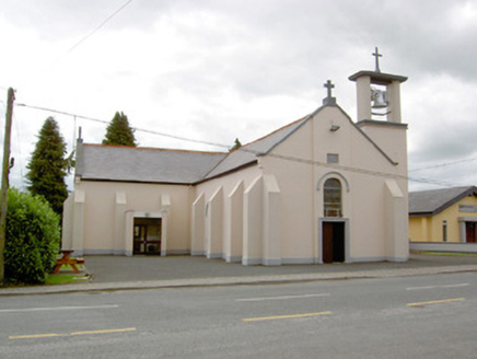 Saint Mary's Catholic ChurchChurch/chapel · 1478 yd
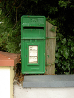 post box1499 yd
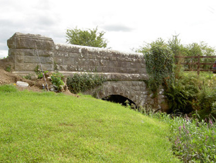 bridge1.3 mi
 Carrigglas BridgeBridge · 1.3 mi
 Saint Catherine's Church (Killoe)Church/chapel · 1.4 mi
 Saint Mel's CathedralCathedral · 3.8 mi
 First World War MemorialMemorial · 4.0 mi
 Common Lime4.8 mi
 Pedunculate Oak4.8 mi
 Moat of GranardCastle, motte and bailey · 9.2 mi
 Granard MotteMotte-and-bailey castle remains · 9.2 mi
 1798 MonumentMonument · 9.3 mi
More historic places in County Longford · All of County Longford
What do you know about this place?