What is recorded here
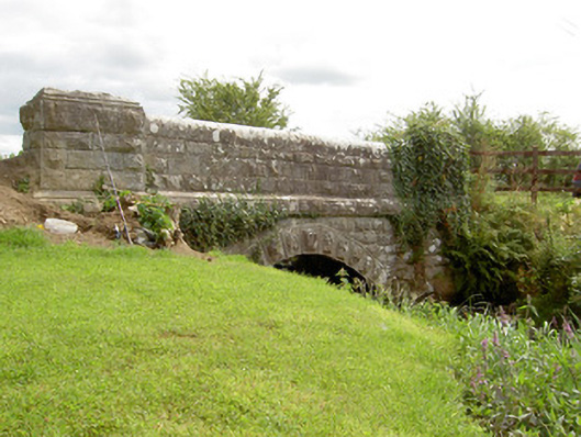
Single-arch road bridge over tributary of the Camlin River, built c. 1860. Constructed of coursed rock-faced limestone with rounded dressed limestone coping over parapet walls. Segmental-headed arch with rock-faced limestone voussoirs. Rock-faced string course at road level. Terminating piers to either side of arch having rock-faced coping over with stepped dressed edges. Located to the west/southwest of Ballinalee.
A robustly-built small-scale bridge, of mid nineteenth-century appearance, which is a pleasing feature in the rural landscape of County Longford. The rustication to the piers and string course is finished with a straight edge to the corners, enhancing and emphasising the formal properties of the structure. The good quality heavily rock-faced masonry is a typical feature of the many bridges built throughout Ireland by the Board of Works/Office of Public Works during the mid-to-late nineteenth century, and particularly between c. 1847 - 60, suggesting that they may have been responsible for its construction. This bridge is similar in form to a number of other bridges in north Longford, including a bridge at Drumhalry (13400307) and Drumury Bridge (13400101), which suggests that it was built as part of a general drainage and/or bridge building programme. The present structure replaced an earlier bridge at this site (Ordnance Survey first edition six-inch map 1838).
This does not grant access. Most recorded buildings are privately owned; view them only from public ground unless the owner allows entry.
Places near here
 Enclosure in Aghaboy (longford By.)Enclosure · 844 yd
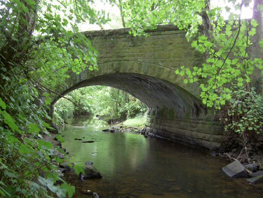 Kilnacarrow Bridgebridge · 1278 yd
 Esker SchoolRuins · 1.1 mi
 Bawn in CurrycahillBawn · 1.3 mi
 Cultivation ridges in Ballinalee OR SaintjohnstownCultivation ridges · 1.4 mi
 Bully's Acregraveyard/cemetery, unknown · 1.6 mi
 Ballinalee Forest WalkForest · 1.7 mi
 Moat & CastleCastle, motte and bailey · 3.4 mi
 Saint Mel's CathedralCathedral · 5.0 mi
 First World War MemorialMemorial · 5.2 mi
 Graveyard in Curry (ardagh By., Coolamber Ed)Graveyard · 7.6 mi
 Granard MotteMotte-and-bailey castle remains · 7.9 mi
Other information
Photo: National Inventory of Architectural Heritage · Website use allowed for educational or private purposes with source credit