
Places near here
Photo credits
- National Inventory of Architectural Heritage
- Kmcnamee, Wikimedia Commons · CC BY-SA 4.0
- Kieran Campbell, Geograph · Creative Commons Attribution-ShareAlike 2.0
- RonanMcCormick, Wikimedia Commons · CC BY-SA 4.0
- Didier Descouens, Wikimedia Commons · CC BY-SA 4.0
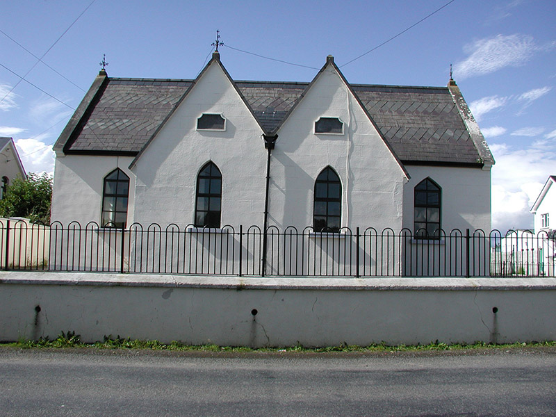 Drumbaragh National SchoolSchool · 1376 yd
Explorer Tom Drumbaragh National School has the wind picking on it because it’s got separate doors for boys and girls, which…
 Drumbaragh Emmett's GAA pitchGAA ground · 1420 yd
 Grave YardGraveyard · 1609 yd
Explorer Tom Barrow in Bellewstown in Meath is a tiny seven-metre circle on a ridge, barely taller than a toddler. A local hero once…
 ChapelChurch · 1.9 mi
Explorer Tom Chapel in Castlekeeran, County Meath would tell you after a few pints that it wrote history books itself. Ciarán was a…
 Hawthorn1.9 mi
Explorer Tom Hawthorn in Meath has thorns sharp enough to survive any zombie attack without breaking a sweat. It’s the ultimate…
 CrossCross, High cross · 1.9 mi
Explorer Tom Cross in Castlekeeran is guarded by a dog who demands a biscuit before you even blink. The interlace is basically just…
 New GroveDemesne walls/gates/railings · 2.0 mi
Explorer Tom New Grove in Balnagon Upper is guarding a giant legend that definitely isn’t true, but sounds great. The piers are made…
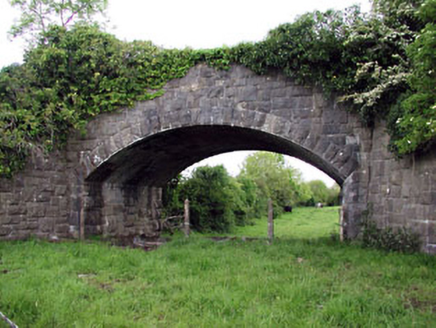 Jack's BridgeBridge · 2.5 mi
Explorer Tom Jack's Bridge in Castlekeeran is showing off its fancy stonework like it just won an architecture award. It crossed…
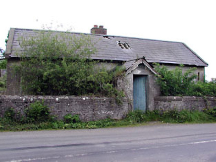 Woodpole National SchoolSchool · 2.5 mi
Explorer Tom Woodpole National School is derelict but still thinks it can do a perfect impression of a choir. It’s got timber doors…
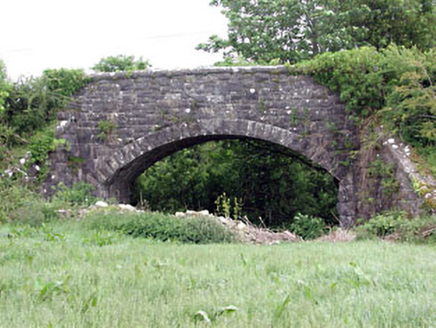 Woodpole BridgeBridge · 2.7 mi
Explorer Tom Woodpole Bridge hosted a dance party once where the horses got too rowdy and the moon fell over. The stonework is…
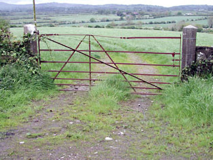 gates/railings/walls4.0 mi
Explorer Tom Gates in Crossakeel are just piers and wrought-iron pretending to be anything special, which is hilarious because…
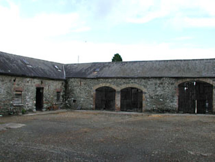 Ardglassan HouseOutbuilding · 4.4 mi
Explorer Tom Ardglassan House is just a cluster of farm buildings pretending to be a fortress because the map makers got confused.…
More archaeology and monuments in County Meath · All of County Meath

What do you know about this place?Tap to add a comment or ask a question