
What is recorded here
Situated on a slight rise in a level landscape. The parish church of Burry (ME016-041----) is located towards the N edge of a subrectangular graveyard (dims c. 70m NNE-SSW; c. 45m WNW-ESE at N to c. 70m WNW-ESE at S) that might have been circular once and is defined by scarps. A font (ME016-041002-) from the church was not noticed in 1984.
From the National Monuments Service (Archaeological Survey of Ireland) record ME016-041001
The monument record does not grant public access. Check the route and ask the landowner before entering private land.
- What survives
- Recorded monument
Places near here
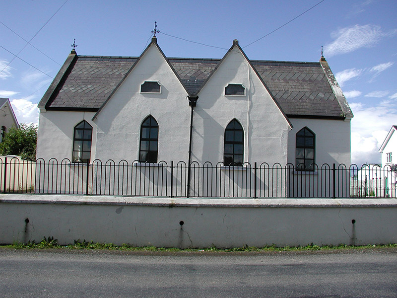 Drumbaragh National SchoolSchool · 1.6 miCloncatMountain / peak · 1.6 mi
 Spire of LloydMonument · 2.2 miTower of LloydMonument · 2.2 mi
 Standing stone in Balnagon UpperStanding stone · 2.5 mi
 Kells Round TowerMemorial · 2.5 mi
 Kells High Crosses and Round TowerMemorial · 2.5 miCausey FarmHeritage attraction · 2.7 mi
 Hawthorn2.7 mi
 Headfort HouseCastle · 3.9 mi
 Sweet Chestnut4.0 mi
 CastleCastle, motte · 4.7 mi
Pictures: National Inventory of Architectural Heritage; XNukes, Wikimedia Commons · CC BY-SA 4.0; Bob Embleton, Geograph · CC BY-SA 2.0; Nigel Thompson, Geograph · CC BY-SA 2.0; Mark Duncan, Geograph · CC BY-SA 2.0; Didier Descouens, Wikimedia Commons · CC BY-SA 4.0; Robert Adam, Wikimedia Commons · Creative Commons Zero, Public Domain Dedication; Miguel Angel Masegosa Martínez, Wikimedia Commons · CC BY 2.0; Garry Dickinson, Geograph · CC BY-SA 2.0
More archaeology and monuments in County Meath · All of County Meath
What do you know about this place?