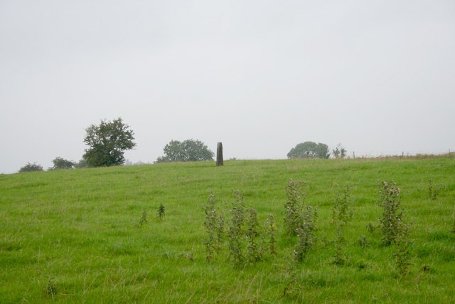
What is recorded here
Located in a hollow in an undulating landscape. This is a red slate stone (dims 0.6m x 0.2m; full H 2m) aligned E-W and leaning to the S. Standing stone (ME016-053----) is c. 200m to the ESE.
Compiled by: Michael Moore
Date of upload: 2 January 2018
The monument record does not grant public access. Check the route and ask the landowner before entering private land.
- What survives
- Recorded monument
Places near here
 New Groveoutbuilding · 429 yd
 Sylvan Park WoodsForest · 1407 yd
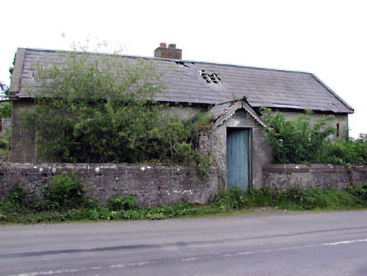 Woodpole National Schoolschool · 1.4 mi
 HawthornHawthorn · 1.4 mi
 Stone CrossCross, Wayside cross · 1.4 mi
 Grave YardGraveyard · 1.6 mi
 Balgree MoteCastle, motte · 2.3 mi
 Round TowerCastle, tower house · 2.3 mi
 CloncatMountain / peak · 3.0 mi
 The Kieran Flanagan WayMemorial · 3.1 mi
 The Pauper's CemeteryMemorial · 3.1 mi
 MaperathMountain / peak · 3.5 mi
Other information
Photo: Bob Embleton · CC BY-SA 2.0