What is recorded here
Magic is not invention here but memory. The chamber is a cushioned ring where edge and centre fold into one another. The chamber is a place where the ordinary and remembered life become one continuing experience.
Located at the N edge of a plain and on the S bank of a W-E section of the Blackwater River, with the stream c. 40m to the N. This is an oval grass-covered area (dims 42m WNW-ESE: 33m; NNE-SSW) defined by an earthen bank (at SSW: Wth of base 9m; int. H 0.8m; ext. H 1.2m) and hedge, with an outer fosse (at SSW: Wth of top 10m; Wth of base 2m; ext. D 0.4m) SSE-W. The bank is reduced to a scarp (at NNW: Wth 6m; H 2.8m) and hedge NW-E that melds into the natural slope at N. The original entrance (Wth of base 1.3m) is at E.
The above description is derived from the published 'Archaeological Inventory of County Meath' (Dublin: Stationery Office, 1987). In certain instances the entries have been revised and updated in the light of recent research.
Compiled by: Michael Moore
Date of revision: 25 February 2019
The monument record does not grant public access. Check the route and ask the landowner before entering private land.
- What survives
- Recorded monument
Places near here
 Enclosure in Rathbrack (kells Upper By., Dulane Par.)Enclosure · 230 yd
 Castlepole ForestForest · 1074 yd
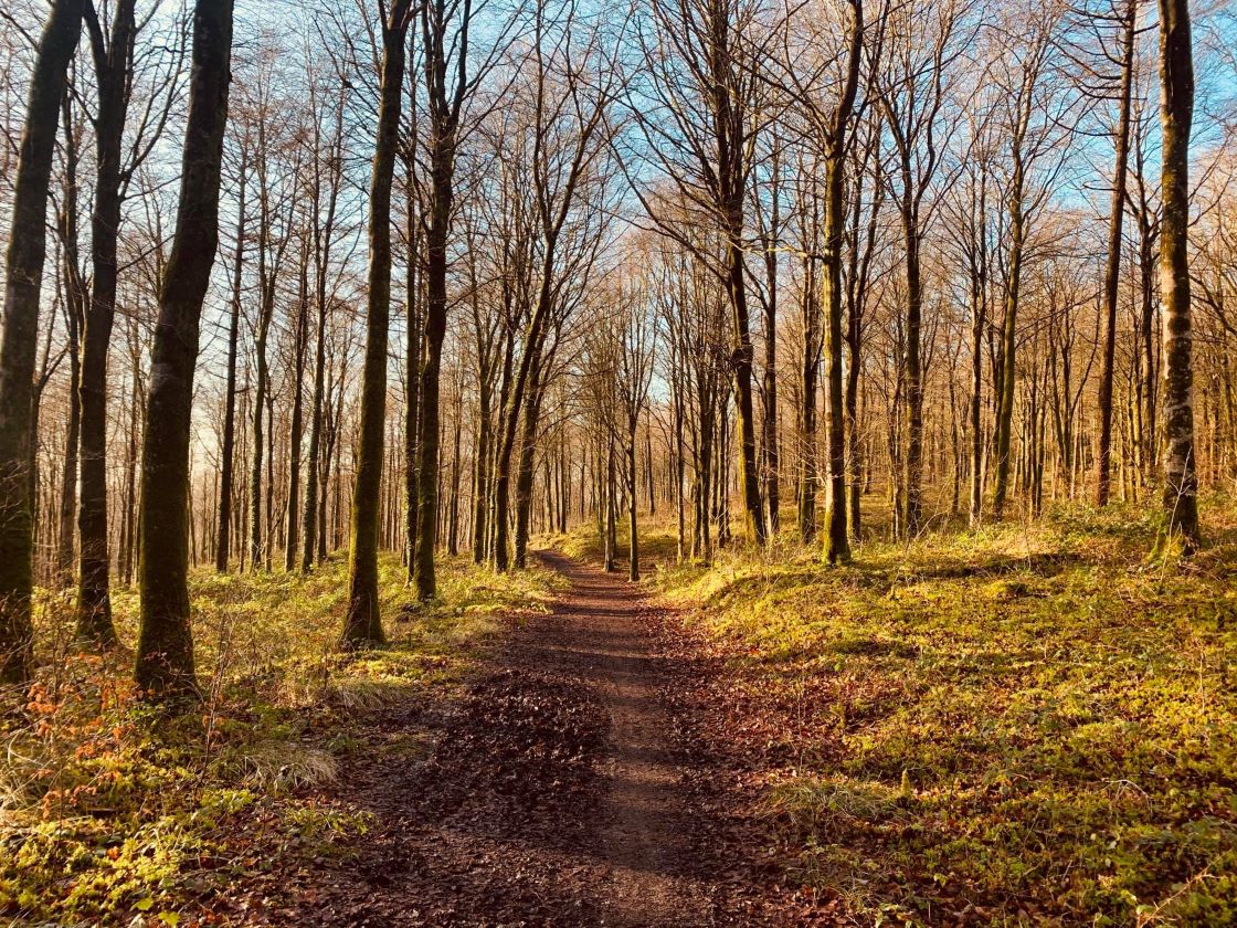 Ballynamona ForestForest · 1136 yd
 ChapelChurch · 1253 yd
 Grave YardGraveyard · 1267 yd
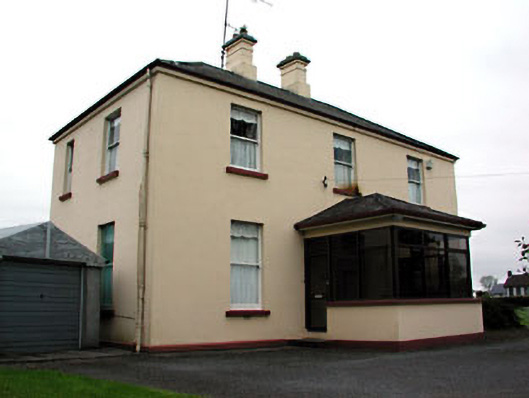 presbytery/parochial/curate's housepresbytery/parochial/curate's house · 1612 yd
 MoatCastle, motte and bailey · 1.1 mi
 The Kieran Flanagan WayMemorial · 1.3 mi
 Great Famine ProjectMemorial · 1.4 mi
 MaperathMountain / peak · 1.5 mi
 MountainpoleMountain / peak · 1.5 mi
 FortsCastle, motte and bailey · 3.0 mi