Places near here
Photo credits
- National Inventory of Architectural Heritage
- Richard Webb, Wikimedia Commons · CC BY-SA 2.0
- Kenneth Allen, Geograph · Creative Commons Attribution-ShareAlike 2.0
- Wanfried-Dublin, Wikimedia Commons · CC BY-SA 4.0
- Richard Webb, Wikimedia Commons
- Andreas F. Borchert, Wikimedia Commons · CC BY-SA 4.0
- Gaelic Life; individual aerial photographer not named, www.gaeliclife.com
- Greg Clarke, Wikimedia Commons · CC BY 2.0
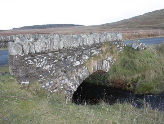
 Glashagh BridgeBridge · 2.4 mi
Explorer Tom Glashagh Bridge is a humpback beauty from c. 1860 that refuses to look tired. The elliptical arches and squared…
 Slieve MainMountain / peak · 3.5 mi
Explorer Tom Slieve Main is recorded as a mountain / peak in County Donegal, and it looks like a solid, reliable sort of hill. I…
 Slieve SnaghtMountain / peak · 3.7 mi
Explorer Tom Slieve Snaght has a namesake in Donegal, so I checked the map twice before announcing that I had found the snow…
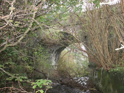 Drumskellan BridgeBridge · 3.8 mi
Explorer Tom Drumskellan Bridge was built around 1800 with one round arch over a small stream. The bridge keeps the road level, and…
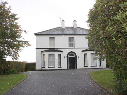 The ManseManse · 4.0 mi
Explorer Tom The Manse in Carrowkeel was built around 1870 near Greenbank Presbyterian Church. Its front door has a rounded arch…
 Greenbank Presbyterian ChurchChurch/chapel · 4.0 mi
Explorer Tom Greenbank Presbyterian Church dates to 1862, with stained glass set into cast-iron windowwork. I thought the old stone…
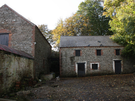 outbuilding4.0 mi
Explorer Tom Outbuilding in Three Trees has cast-iron mechanical cog wheels staring out from its south wall like a surprised beetle.…
.jpg/250px-Eskaheen_(2).jpg "Photo: Wanfried-Dublin, Wikimedia Commons · CC BY-SA 4.0") Eskaheen Portal TombPortal tomb · 4.1 mi
Eskaheen Portal TombPortal tomb · 4.1 miExplorer Tom Eskaheen Portal Tomb carries an enormous five-metre roofstone above its chamber. The slab slipped north, breaking one…
 Cruckahenny TrailOfficial walking route · 4.1 mi
Explorer Tom Cruckahenny Trail takes you from Quigley's Point into the hills above Lough Foyle, and Donegal has arranged the climb…
 Eskaheen GraveyardGraveyard · 4.2 mi
Explorer Tom Eskaheen Graveyard lies on high ground looking over Lough Foyle. The earlier survey recorded part of the old church's…
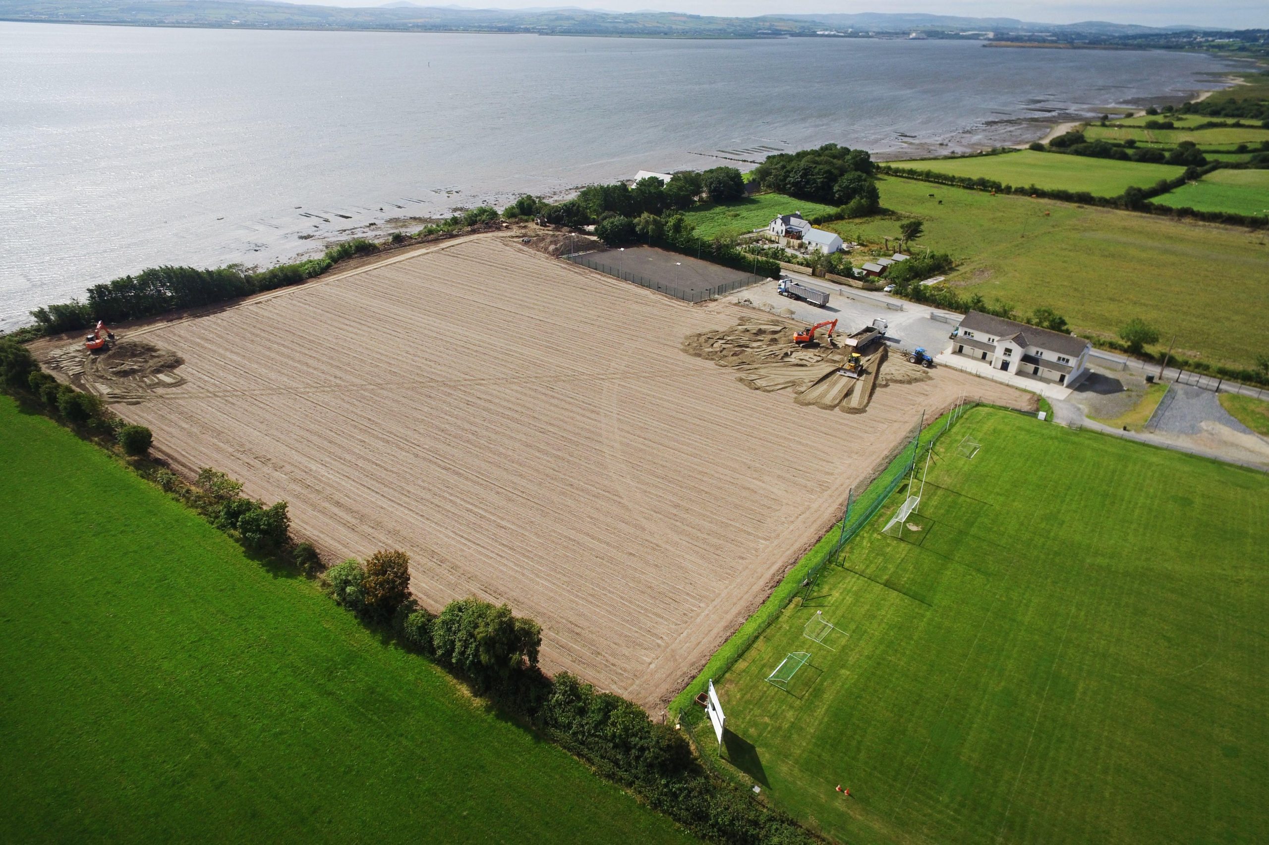 Muff GAA Grounds, Ture, Naomh Pádraig GAA, MuffGAA ground · 4.4 mi
 Muff ForestWoodland walk · 4.8 mi
Explorer Tom Lisnagra Woods near Muff is part of a walk with a name that sounds like the opening of a Donegal legend: Grania's Gap.…
More historic places in County Donegal · All of County Donegal

What do you know about this place?Tap to add a comment or ask a question