
Places near here
Photo credits
- Picture: www.kerrygaa.ie
- National Inventory of Architectural Heritage
- Peter Taylor, Wikimedia Commons · CC BY-SA 2.0
- Nigel Cox, Wikimedia Commons · CC BY-SA 2.0
- kevin higgins, Geograph · CC BY-SA 2.0
 John Mitchels GAA pitchGAA ground · 1570 yd
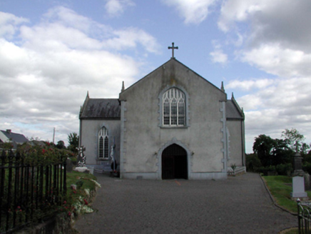 Saint Anne's Catholic ChurchOfficially recorded historic building · 1.0 mi
Explorer Tom Saint Anne's in Kilnagrange has a date stone from 1802, proving it’s older than most of our grandads' stories. There’s…
 Croughaun HillMountain / peak · 1.2 mi
Explorer Tom Croughaun Hill has been hiding a massive scandal involving a lost hat and a very confused shepherd for centuries. The…
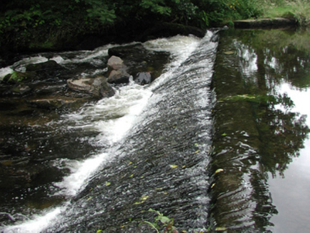 weir1.8 mi
Explorer Tom The weir in Graigueshoneen is a leftover from a water mill that’s long gone, but it still looks like it’s ready to…
 bridge1.8 mi
Explorer Tom Bridge in Graigueshoneen, Kilmacthomas, County Waterford has hidden messages in its stones if you squint really hard…
 gates/railings/walls1.9 mi
Explorer Tom Gates in Kilmacthomas are haunted by a ghost who is too lazy to actually haunt them and just sits on the wall instead.…
 mill (water)1.9 mi
Explorer Tom The mill in Kilmacthomas gave up flour for Lent, but I think it just got lazy and stopped grinding altogether. It looks…
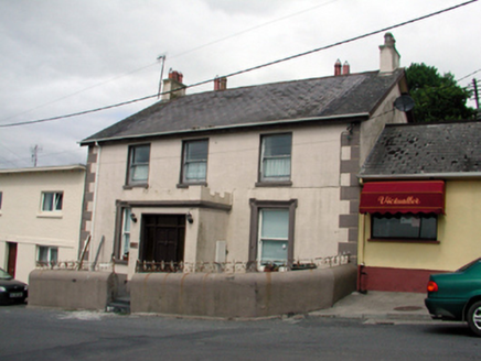 Ard na GreineSchool · 1.9 mi
Explorer Tom Ard na Greine in Kilmacthomas is a school that survived the mid-twentieth-century renovation without losing its head or…
 Historic buildingOfficially recorded historic building · 1.9 mi
Explorer Tom Historic building in Kilmacthomas is a pill box where a poet once fell into the ditch while trying to recite sonnets…
 D. KirwanHouse · 2.0 mi
Explorer Tom D. Kirwan in Graigueshoneen is a building that gave up its two-house identity for a shiny new shopfront, which is…
 Ric barracks2.0 mi
Explorer Tom RIC barracks in Graigueshoneen is wearing its best copper helmet today. It’s been standing guard since the constabulary…
 Mahon ValleyCliff · 4.6 mi
Explorer Tom Mahon Valley witnessed a love story that went badly wrong because one partner brought a sausage roll. The other one got…
More archaeology and monuments in County Waterford · All of County Waterford

What do you know about this place?Tap to add a comment or ask a question