
Places near here
Photo credits
- Wanfried-Dublin, Wikimedia Commons · CC BY-SA 4.0
- National Inventory of Architectural Heritage
- Liam Hughes from Milwaukee, WI, USA, Wikimedia Commons · CC BY 2.0
- Ahane GAA Club; individual photographer not stated, www.ahanegaa.ie
- Picture: ie.near-place.com
- No machine-readable author provided. Christian1965~commonswiki assumed (based on copyright claims)., Wikimedia Commons · Public domain
.jpg/250px-KnockcurraghbolanCommons-TN39-009_(4).jpg "Photo: Wanfried-Dublin, Wikimedia Commons · CC BY-SA 4.0") Wedge tomb in Knockcurraghbola CommonsWedge tomb · 1.5 mi
Wedge tomb in Knockcurraghbola CommonsWedge tomb · 1.5 miExplorer Tom Wedge tomb in Knockcurraghbola Commons, County Tipperary, would tell you its secret after two pints, but it’s too shy…
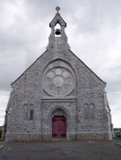 Catholic Church of the Immaculate ConceptionChurch/chapel · 3.6 mi
Explorer Tom Catholic Church of the Immaculate Conception in Cloghinch was nearly sold for a horse, but the rose window said no. The…
 Castle OtwayCastle, tower house · 4.0 mi
Explorer Tom Castle Otway in Cloghonan has a secret it would only tell you after three pints of stout and a good chat. It was partly…
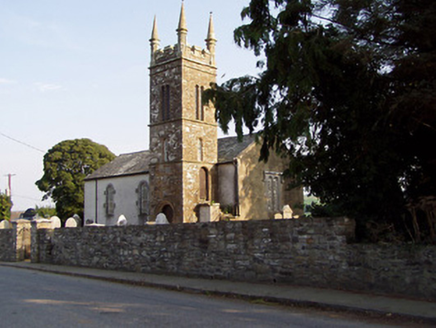 Templederry ChurchChurch/chapel · 4.3 mi
Explorer Tom Templederry Church in County Tipperary sings its favourite song through lattice windows and sandstone masonry, sounding…
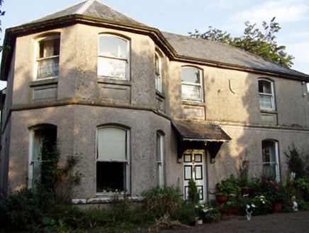 Otway HouseRectory/glebe/vicarage/curate's house · 4.3 mi
Explorer Tom Otway House holds a fake world record for the most dignified bow in a rectory façade, which is technically impossible…
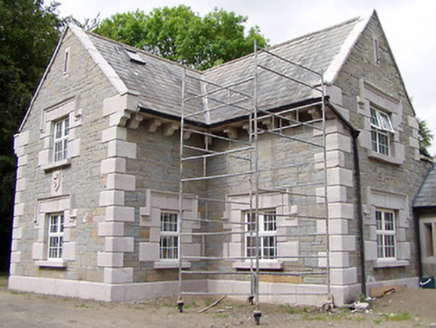 Orkney LodgeHouse · 5.2 mi
Explorer Tom Orkney Lodge in Glenmore Lower took about four hundred cups of tea to build because the craftsmen were too busy…
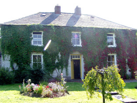 Mount Island HouseHouse · 6.3 mi
Explorer Tom Mount Island House in Mountisland has changed its name so many times I’ve lost count. It’s got a slate roof and sash…
 Mackey Park, AhaneGAA ground · 18 mi
 Monaleen GAA pitchGAA ground · 20 mi
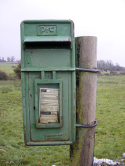 post box22 mi
Explorer Tom The post box in Ballynamona has a tiny drama with the nearest tree over who gets more sunlight. It was made in Scotland…
 O'Carroll's BridgeBridge · 22 mi
Explorer Tom O'Carroll's Bridge in Ballynamona claims Queen Victoria once crossed it, which is impossible because she was busy being…
 Áine and Gearóid Iarla: Lough GurLegend location · 23 mi
Explorer Tom Áine and Gearóid Iarla: Lough Gur has a goddess for the lake and a sleeping lord in the old stories. I thought I was…
More archaeology and monuments in County Tipperary · All of County Tipperary

What do you know about this place?Tap to add a comment or ask a question