
What is recorded here
From the National Monuments Service (Archaeological Survey of Ireland) record CO131-067
Places near here
Photo credits
- Maker not stated on source page, www.alamy.com
- National Inventory of Architectural Heritage
- Richard Webb, Geograph · CC BY-SA 2.0
- Maker not stated on source page, heritageireland.ie
- Kondephy, Wikimedia Commons · CC BY-SA 4.0
- Mike Searle, Wikimedia Commons · CC BY-SA 2.0
- Garry Dickinson, Wikimedia Commons · CC BY-SA 2.0
- Maker not stated on source page, www.corkbeo.ie
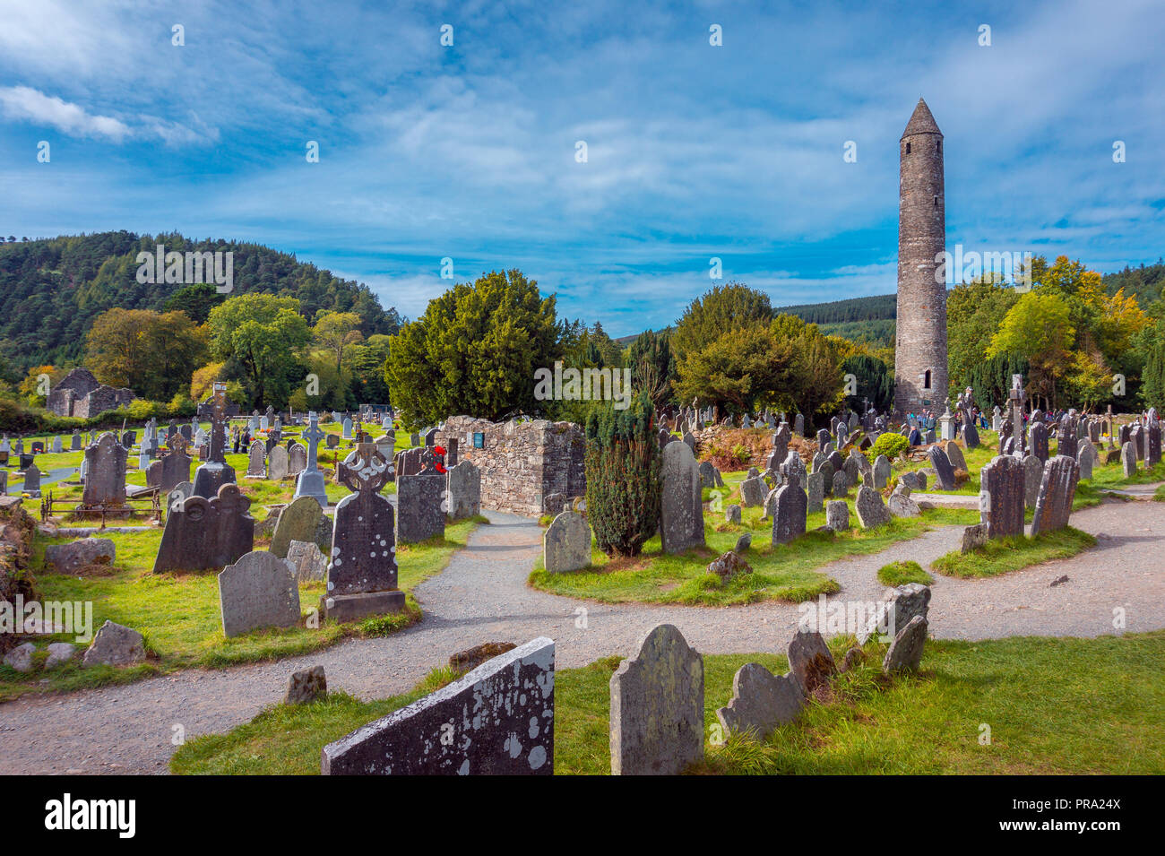 Standing stone in GlansallaghStanding stone · 1.1 mi
Explorer Tom Standing stone in Glansallagh is officially 'not visible,' which means it’s playing hard to get behind some gorse. A…
 farm house1.2 mi
Explorer Tom Farm house in Gortnagrough has a roof so shallow I think it’s flat. It looks rich, which is weird for a farm. Best seen…
 Derrylahard EastMountain / peak · 1.5 mi
Explorer Tom Derrylahard East claims the local inventor made it out of leftover clay from a failed pottery class, but the trees…
 Coolagh CottageHouse · 2.4 mi
Explorer Tom Coolagh Cottage has been around since the early nineteenth century, holding onto its timber panelled door like a…
 Coolagh BridgeBridge · 2.5 mi
Explorer Tom Coolagh Bridge has walls made of rough stone that look like they’ve seen better days, and honestly, they have. The…
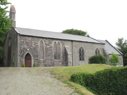 Church of St. MatthiasChurch/chapel · 2.6 mi
Explorer Tom Church of St. Matthias has pieces from an earlier church from 1829 hiding inside the newer structure. It's sitting on a…
 Fairy fort / earthen ringfort in Rathruane MoreFairy fort / earthen ringfort · 2.6 mi
Explorer Tom Rathruane More has a cow that tried to buy it with a single hoofprint. The bank is stone-faced inside, which is very…
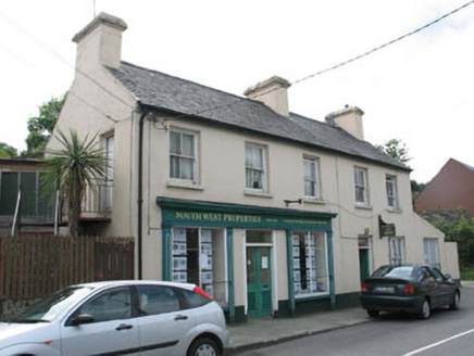 South West PropertiesHouse · 2.6 mi
Explorer Tom South West Properties in Ballydehob is right at the entrance, judging everyone who walks into town. It’s a pair of…
 Mount GabrielMountain / peak · 5.1 mi
Explorer Tom Mount Gabriel lets you drive much of the way to a view I would normally claim to have earned with a heroic climb. The…
 Rossbrin Castle (in Ruins)Castle, tower house · 5.1 mi
Explorer Tom Rossbrin Castle in Rossbrin is having a bit of a wobble. It collapsed three times, and I'm not entirely convinced it…
 Rossbrin CastleCastle · 5.1 mi
Explorer Tom Rossbrin Castle in County Cork ended up in the wrong place because someone misread a map from the seventeenth century…
 Cadogan's StrandVisitor attraction · 6.2 mi
Explorer Tom Cadogan's Strand thinks the road leading to it is basically a suggestion rather than a firm invitation for most cars.…
More archaeology and monuments in County Cork · All of County Cork

What do you know about this place?Tap to add a comment or ask a question