What is recorded here
Not marked on OS 1836 or 1876 eds. Situated on the NNW shoulder of a low rise. All that remains of the site is a heap of small stones containing one large partly buried recumbent stone (H 0.9m; dims 2.25m x 0.7m) with two smaller heaps of small stones 11.3m to SSE.
The above description is derived from the published 'Archaeological Inventory of County Cavan' (Dublin: Stationery Office, 1995). In certain instances the entries have been revised and updated in the light of recent research.
Date of upload/revision: 22 December 2008
Likely dating to the Neolithic or Early Bronze Age, this stone circle may have had ceremonial or astronomical significance. The presence of a recumbent stone suggests a megalithic tradition similar to other Atlantic seaboard sites, though local folklore or specific use remains undocumented.
The monument record does not grant public access. Check the route and ask the landowner before entering private land.
- What survives
- Recorded monument
Places near here
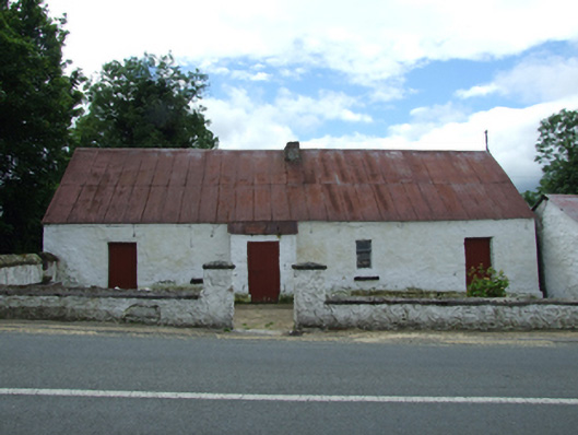 farm housefarm house · 670 yd
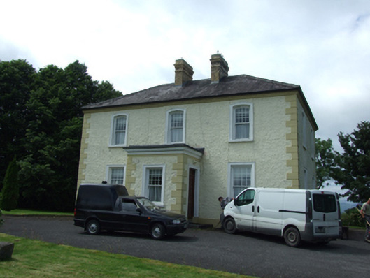 The Presbyterypresbytery/parochial/curate's house · 688 yd
 Tober PatrickHoly well · 942 yd
 Killycluggin StoneVisitor information · 1009 yd
 Enclosure in CorEnclosure · 1020 yd
 LissanoverCastle, unclassified · 1040 yd
 Saint Mogue's IslandIslet · 1750 yd
 Giants GraveArchaeological place · 1.2 mi
 Common LimeCommon Lime · 1.2 mi
 European BeechEuropean Beech · 1.2 mi
 Bellaheady MountainMountain / peak · 1.8 mi
 CastleCastle, ringwork · 2.6 mi