What is recorded here
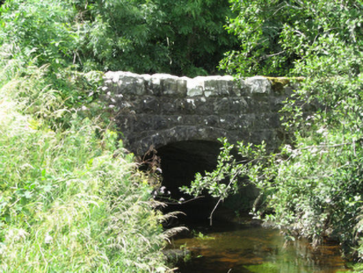
Single-arch stone road bridge, built c.1850, spanning waterway flowing to Templeport Lough. Coursed squared rubble-stone abuttments, rubble-stone soffit, arch ring of rock-faced voussoirs. Coursed squared rubble-stone spandrels and parapets. Rusticated coping stones, rock-faced ends to parapets. Slightly humped deck.
A modestly scaled bridge, set close to a former train station complex, and likely to have been built to replacement an earlier bridge. The large scale, heavily rusticated parapets make a robust addition to the road. Its fine elevations are somewhat marred by the addition of recent service pipes and concrete footings. The bridge adds strongly to the historic character of its setting.
From the Buildings of Ireland (National Inventory of Architectural Heritage) record 40401304
This does not grant access. Most recorded buildings are privately owned; view them only from public ground unless the owner allows entry.
Places near here
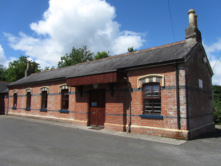 railway station100 yd
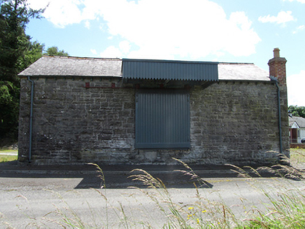 goods shed126 ydSaint Mogue's IslandIslet · 682 yd
 European Beech1054 yd
 Sycamore1072 ydLissanoverCastle, unclassified · 1531 yd
 Killycluggin StoneVisitor information · 1.2 mi
 IndicatedCastle, tower house · 2.0 mi
.jpg/250px-Doon_(0).jpg "Photo: Wanfried-Dublin, Wikimedia Commons · CC0") Court tomb in Doon (ballyconnell Ed)Court tomb · 3.7 mi
Court tomb in Doon (ballyconnell Ed)Court tomb · 3.7 mi Slieve RushenMountain / peak · 4.0 mi
 Evlagh MoreMountain / peak · 4.4 mi
 IndicatedGraveyard · 5.5 mi
Pictures: National Inventory of Architectural Heritage; Malene Thyssen, Wikimedia Commons · CC BY-SA 3.0; Christian Pirkl, Wikimedia Commons · CC BY-SA 3.0 at; Kenneth Allen, Geograph · CC BY-SA 2.0; Kenneth Allen, Wikimedia Commons · Creative Commons Attribution-ShareAlike 2.0; Wanfried-Dublin, Wikimedia Commons · CC0; Jonathan Billinger, Wikimedia Commons · CC BY-SA 2.0; Oliver Dixon, Geograph · Creative Commons Attribution-ShareAlike 2.0
More historic places in County Cavan · All of County Cavan
What do you know about this place?