
What is recorded here
Situated on elevated grassland known locally as 'Knockfleming', with panoramic views of the surrounding countryside from W-N-E. Hilltop ringfort (LI014-069--) visible 440m to SSE. Standing stones (LI014-140---/041/042-) in fields 290m to E. High Park House located 1.3km to NNE. In 1826 it was recorded that there was…
Read the whole record
From the National Monuments Service (Archaeological Survey of Ireland) record LI014-024001
Places near here
Photo credits
- Maker not stated on source page, in.pinterest.com
- Maker not stated on source page, www.pinterest.com
- National Inventory of Architectural Heritage
- Ronnie Nijboer, Wikimedia Commons · CC0
- Maker not stated on source page, www.arrivalguides.com
- Maker not stated on source page, www.wikidata.org
- Golfing in Ireland; photographer not stated, Source publisher
 Site of Greenan CastleCastle, unclassified · 878 yd
Explorer Tom Greenan Castle is hiding a scandal about a very drunk lord from 1272. Nothing is visible now except a small hill that…
 CastleCastle, unclassified · 1018 yd
Explorer Tom Castle in Kilculleen had a prophecy that it would turn into gold on a Tuesday, but it just kept waiting while the…
 Catholic Church of the Immaculate Heart of MaryChurch/chapel · 1067 yd
Explorer Tom Catholic Church of the Immaculate Heart of Mary is stuck between Srahane and Bohermore like a confused tourist. The map…
 Wych Elm1350 yd
Explorer Tom Wych Elm in County Limerick is in a serious feud with the rain because it keeps getting wet on purpose. It thinks the…
 Highpark HouseCountry house · 1458 yd
Explorer Tom Highpark House in Highpark is where a love story went badly wrong right next to it, probably because the symmetrical…
 Liberty StoneBoundary stone · 1643 yd
Explorer Tom Liberty Stone in Carrigparson was placed by a builder who really wanted to be left alone. It marks where the Mayor’s…
 Fairy fort / earthen ringfort in Pust NorthFairy fort / earthen ringfort · 1.0 mi
Explorer Tom Fairy fort / earthen ringfort in Pust North refuses to fall down because it’s too stubborn about its own shape. It’s…
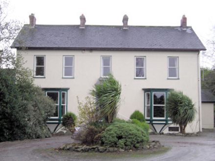 Ballymacreese HouseHouse · 1.2 mi
Explorer Tom Ballymacreese House is in a serious feud with the rain because its highly decorative limestone doorcase refuses to let…
 Carrigparson HouseHouse · 1.3 mi
Explorer Tom Carrigparson House started from a bet two lads made about who could build prettier. Now it’s a gentleman farmer’s dream…
 Standing stone in Pust NorthStanding stone · 1.4 mi
Explorer Tom Standing stone in Pust North has a bad poem written about it that rhymes 'stone' with 'home'. It leans slightly north…
 An TobarHouse · 1.7 mi
Explorer Tom An Tobar in Cloghnadromin has a ghost who’s too lazy to haunt, so he just naps. It’s a Georgian beauty with windows…
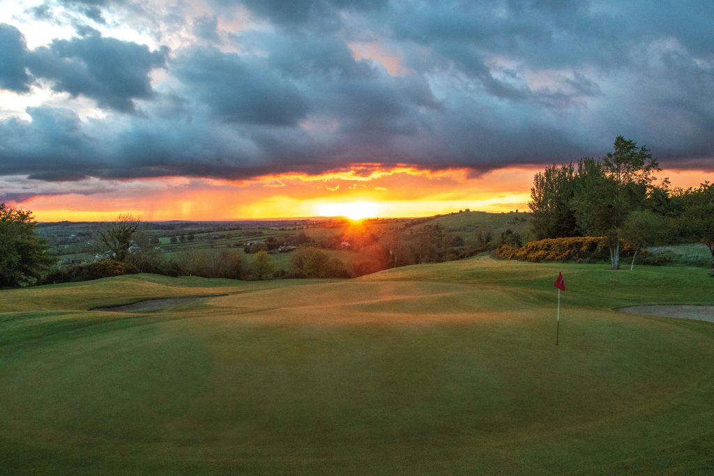 Ballyneety Golf ClubGolf course · 1.8 mi
More archaeology and monuments in County Limerick · All of County Limerick

What do you know about this place?Tap to add a comment or ask a question