
What is recorded here
Impressive standing stone situated on elevated grassland known locally as 'Knockfleming', with panoramic views of the surrounding countryside from W-N-E. Hilltop ringfort (LI014-069--) visible 440m to SSE. Standing stones (LI014-140---/041/042-) in fields 290m to E. High Park House located 1.3km to NNE. Annotated…
Read the whole record
From the National Monuments Service (Archaeological Survey of Ireland) record LI014-024
Places near here
Photo credits
- Maker not stated on source page, www.usmarble.com
- Maker not stated on source page, in.pinterest.com
- Maker not stated on source page, www.pinterest.com
- National Inventory of Architectural Heritage
- Ronnie Nijboer, Wikimedia Commons · CC0
- Maker not stated on source page, www.arrivalguides.com
- Maker not stated on source page, www.wikidata.org
- Golfing in Ireland; photographer not stated, Source publisher
 Stone circle in HighparkStone circle · 1 yd
Explorer Tom Stone circle in Highpark is guarding its secret treasure, which I am ninety percent sure is just a very old biscuit tin…
 Site of Greenan CastleCastle, unclassified · 878 yd
Explorer Tom Greenan Castle is hiding a scandal about a very drunk lord from 1272. Nothing is visible now except a small hill that…
 CastleCastle, unclassified · 1018 yd
Explorer Tom Castle in Kilculleen had a prophecy that it would turn into gold on a Tuesday, but it just kept waiting while the…
 Catholic Church of the Immaculate Heart of MaryChurch/chapel · 1067 yd
Explorer Tom Catholic Church of the Immaculate Heart of Mary is stuck between Srahane and Bohermore like a confused tourist. The map…
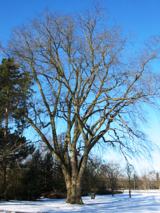 Wych Elm1350 yd
Explorer Tom Wych Elm in County Limerick is in a serious feud with the rain because it keeps getting wet on purpose. It thinks the…
 Highpark HouseCountry house · 1458 yd
Explorer Tom Highpark House in Highpark is where a love story went badly wrong right next to it, probably because the symmetrical…
 Liberty StoneBoundary stone · 1643 yd
Explorer Tom Liberty Stone in Carrigparson was placed by a builder who really wanted to be left alone. It marks where the Mayor’s…
 Fairy fort / earthen ringfort in Pust NorthFairy fort / earthen ringfort · 1.0 mi
Explorer Tom Fairy fort / earthen ringfort in Pust North refuses to fall down because it’s too stubborn about its own shape. It’s…
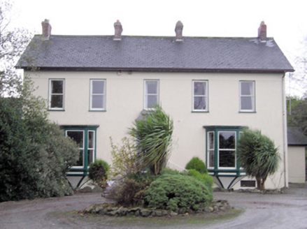 Ballymacreese HouseHouse · 1.2 mi
Explorer Tom Ballymacreese House is in a serious feud with the rain because its highly decorative limestone doorcase refuses to let…
 Carrigparson HouseHouse · 1.3 mi
Explorer Tom Carrigparson House started from a bet two lads made about who could build prettier. Now it’s a gentleman farmer’s dream…
 Standing stone in Pust NorthStanding stone · 1.4 mi
Explorer Tom Standing stone in Pust North has a bad poem written about it that rhymes 'stone' with 'home'. It leans slightly north…
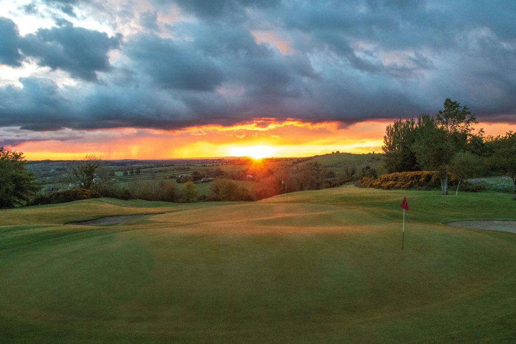 Ballyneety Golf ClubGolf course · 1.8 mi
More archaeology and monuments in County Limerick · All of County Limerick

What do you know about this place?Tap to add a comment or ask a question