What is recorded here
On the road verge S of the R503 at the intersection of the R503 and a local public road. Annotated 'Liberty Stone' on the 1840 OS 6-inch map where it is depicted standing on the line of the ‘Parliamentary Boundary’ of Limerick City. This stone marked the boundary between the jurisdiction of the Mayor of Limerick City and the rest of the county which was outside his governance. The stone is not indicated at this location on the 1897 OS 25-inch map. The stone is visible on Google Earth imagery taken 28/06/2018. The stone was described in 1913 as following; ‘The Carrigparson stone measures 2 feet 2 inches [0.66m] by three feet three inches [1m], and the inscription is in contracted Roman capitals: as The Liberties of the City of Limerick ascertained 1786, Sir Christopher Knight, Mayor’ (Barry 1913, 238).
See attached Google Earth street view photo showing stone incorporated into the roadside boundary
Compiled by: Fiona Rooney
Date of upload: 7 July 2020
The monument record does not grant public access. Check the route and ask the landowner before entering private land.
- What survives
- Recorded monument
Places near here
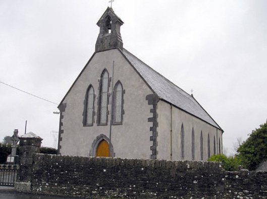 Catholic Church of the Immaculate Heart of Marychurch/chapel · 578 yd
 Carrigparson Househouse · 667 yd
 Grave YardGraveyard · 805 yd
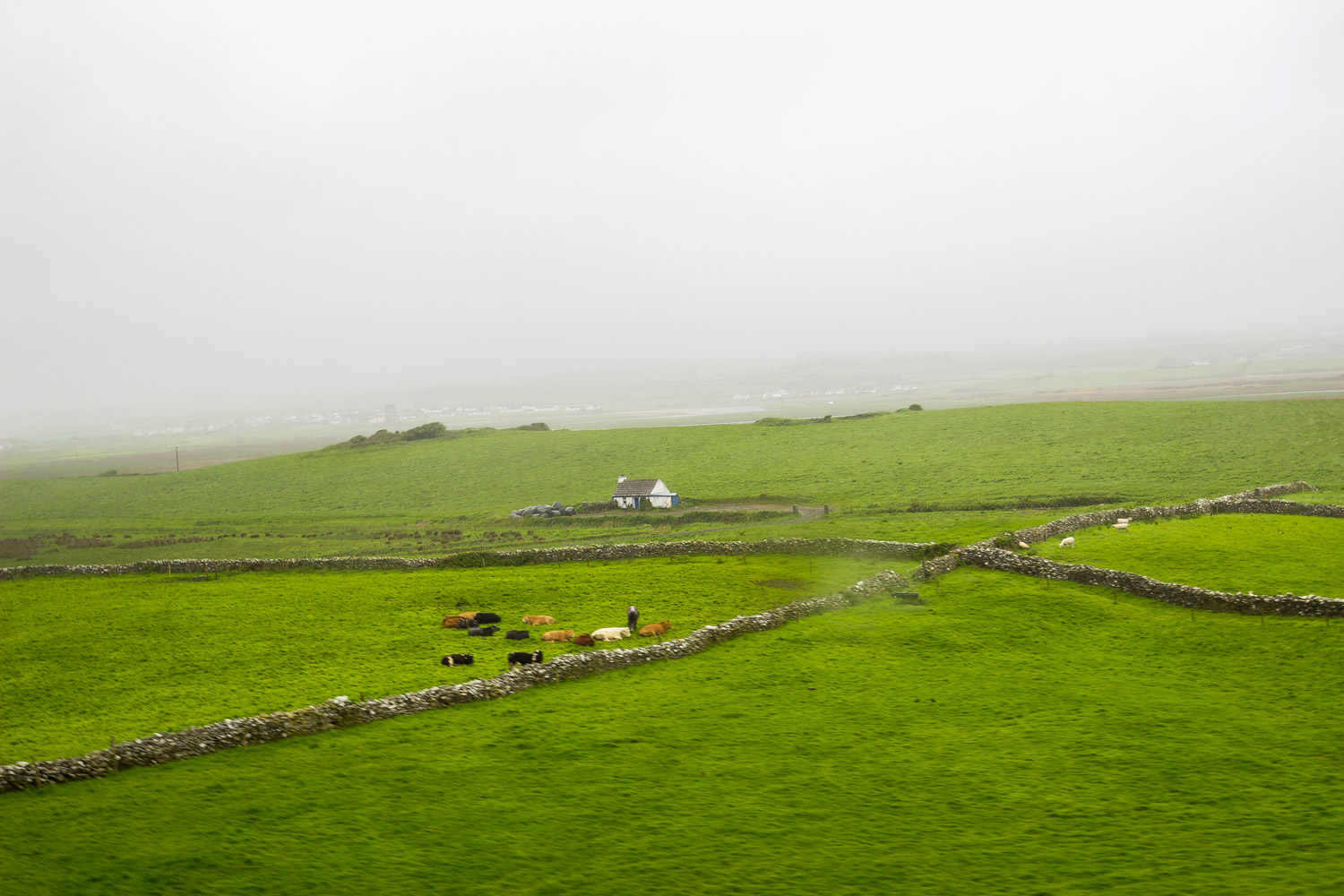 BarrowBarrow, unclassified · 1391 yd
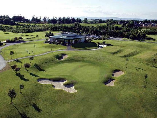 Ballyneety Castle (Site of)Castle, unclassified · 1.2 mi
 Tooreen Castle (in ruins)Castle, tower house · 1.3 mi
 Wych ElmWych Elm · 1.5 mi
 St Lawrence's WellSpring · 2.0 mi
 Campus MapVisitor information · 4.3 mi
 Visitor CentreVisitor information · 4.3 mi
 Fountain SculptureHeritage attraction · 4.4 mi
 Graveyard in AbingtonGraveyard · 4.7 mi