
Places near here
Photo credits
- Kmcnamee, Wikimedia Commons · CC BY-SA 4.0
- National Inventory of Architectural Heritage
- N Chadwick, Geograph · CC BY-SA 2.0
- N Chadwick, Wikimedia Commons · CC BY-SA 2.0
- Bob Embleton, Wikimedia Commons · CC BY-SA 2.0
- Golfing in Ireland; photographer not stated, Source publisher
- Ireland’s National Parks project; photographer not stated, Ireland’s National Parks project
 Tom Langan Park, Ballycastle GAAGAA ground · 1599 yd
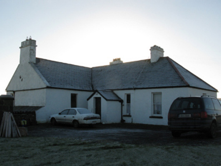 rectory/glebe/vicarage/curate's house1.4 mi
Explorer Tom This Doonfeeny Upper rectory has high walls because the vicar needed privacy from his own thoughts. It would rate…
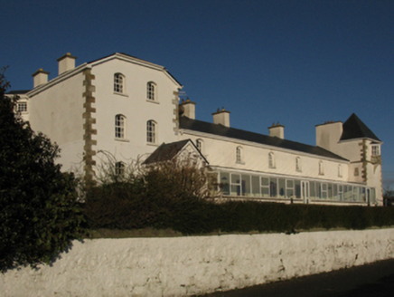 Ballycastle Coastguard StationCoastguard station · 1.4 mi
Explorer Tom Ballycastle Coastguard Station has a long-standing grudge against the weather, even though they just did a total…
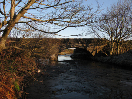 Killerduff BridgeBridge · 1.5 mi
Explorer Tom Killerduff Bridge in Killerduff is showing off its limestone dressings, which are so sharp they could cut glass, or at…
 Ballycastle HouseFarm house · 1.6 mi
Explorer Tom Ballycastle House would tell you after a few pints that it’s actually haunted by a Georgian doorcase that refuses to…
 Ww2 Éire MarkerHeritage attraction · 1.8 mi
Explorer Tom WW2 Éire Marker: This marker looks like it’s got an imaginary twin across the Atlantic, just waiting for a phone call…
 Dún BristeVisitor attraction · 1.9 mi
Explorer Tom Dún Briste in Mayo has clearly made a New Year's resolution to stop crumbling, but it hasn't exactly stuck to the plan…
 Downpatrick HeadHeadland · 1.9 mi
Explorer Tom Downpatrick Head claims it’s older than the concept of time itself, which is a bold move for a headland that just looks…
 bridge3.1 mi
Explorer Tom Bridge in Glenulra was built by Alexander Nimmo, who clearly knew what he was doing because this thing looks dramatic…
 Céide Fields Visitor CentreVisitor information · 4.1 mi
Explorer Tom Céide Fields Visitor Centre has this tall tale about a hidden tunnel to the pub going around. I’m not sure if it’s…
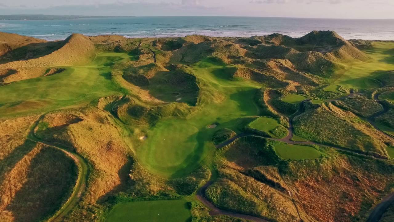 Enniscrone Golf ClubGolf course · 12 mi
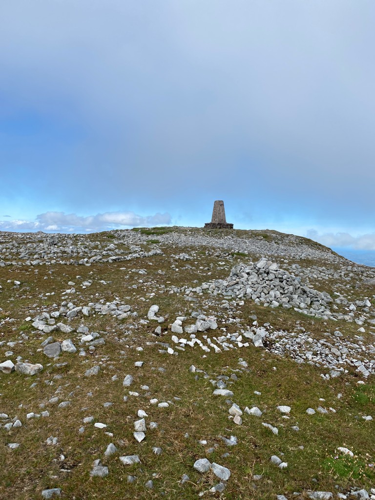 Slieve CarrMountain / peak · 20 mi
Explorer Tom Slieve Carr sits deep in County Mayo's Wild Nephin country, where mountains go looking for quiet. At 721 metres it is…
More archaeology and monuments in County Mayo · All of County Mayo

What do you know about this place?Tap to add a comment or ask a question