What is recorded here
Colhoun (1995) suggested that this may be the site of a 'Giant's Grave'. However, the indications are that a substantial mound of earth and some large stones at this spot are derived from land-clearance activities that took place sometime before 1943, when Colhoun visited the site. The standing stone shown here on the OS 6-inch map cannot now be identified with certainty.
Lacy 1983, 88, no. 499; SMR 1987, 11:39; Colhoun 1995, 32, no. 11/13; RMP 1995, 11: 39.
The above description was published in the 'Survey of the Megalithic Tombs of Ireland. Volume VI, County Donegal.' Compiled by: Eamon Cody (Dublin: Stationery Office, 2002).
Date of upload: 22 September 2008
Likely dating to the later prehistoric or early historic period, the stone may have had a symbolic or ritual role before being associated in folklore with a 'Giant's Grave'. The features at the site are more likely the result of agricultural land-clearance than of ancient burial practices.
The monument record does not grant public access. Check the route and ask the landowner before entering private land.
- What survives
- Recorded monument
Places near here
 Carndonagh Presbyterian Churchchurch/chapel · 300 yd
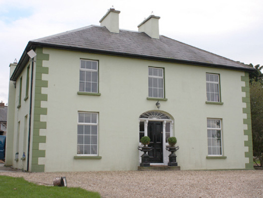 The Mansemanse · 407 yd
 Tullanree Western Stone RingfortFairy fort / stone ringfort · 652 yd
 Fairy fort / stone ringfort in Machaire Dromann (tc Fánaid Thuaidh)Fairy fort / stone ringfort · 1655 yd
 Carndonagh Early Church GraveyardGraveyard · 1.2 mi
 CuldaffOfficial bathing water · 4.8 mi
 Wee Slieve SnaghtMountain / peak · 4.9 mi
 CastleCastle, unclassified · 5.0 mi
 CroaghmoreMountain / peak · 5.2 mi
 Dough Famine VillageHeritage attraction · 5.4 mi
 Doagh Famine VillageMuseum · 5.4 mi
 Lag GraveyardGraveyard · 5.8 mi