
What is recorded here
Detached four-bay gable-fronted Presbyterian church, dated 1886, with pedimented front, projecting gabled entrance door-case, and modern two-bay single-storey with attic extension to rear. Pitched slate roof with projecting eaves course, stucco gable copings and triangular skew-ends to pediment, wrought-iron finial to front, and replacement rainwater-goods. Pitched artificial slate roof to extension. Roughcast rendered walls with stucco pilasters to margins and with smooth rendered plinth course. Medallion date plaque to tympanum. Tudor-arched window openings with smooth rendered surrounds and continuous sill course, having multi-paned coloured glass in cast-iron quarries. Tudor-arched door opening with smooth rendered surround and feathered roof, timber diagonal boarded double doors with panel over. Set within own grounds with graveyard with headstones arranged around six-bay single-storey hall to the south-east. Site fronted by roughcast rendered wall with wrought-iron gates mounted on roughcast rendered piers with ashlar capping. Single-cell outbuilding to north-east with pitched slate roof and roughcast rendered walls. Located to east of Carndonagh.
An attractive building, nicely set in its own grounds, this place of worship is of good scale and proportions. Retaining much of its architectural integrity and its fine character, this is good piece of architectural heritage and a fine example of its type. With the nearby former Manse (40901143), and the adjoining graveyard and hall it forms part of a distinctive group of religious structures. The Presbyterian community has been in the Carndonagh area from at least 1692, if not even before this. A 'Meeting House' is shown on an adjoining site on the Ordnance Survey first edition six-inch map of c. 1837, presumably the precursor of the present church.
This does not grant access. Most recorded buildings are privately owned; view them only from public ground unless the owner allows entry.
Places near here
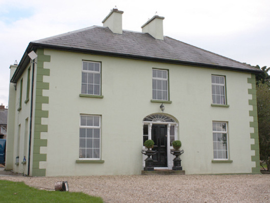 The Mansemanse · 204 yd
 Tullanree Western Stone RingfortFairy fort / stone ringfort · 424 yd
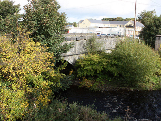 Glennagannon Bridgebridge · 715 yd
 Fairy fort / stone ringfort in Machaire Dromann (tc Fánaid Thuaidh)Fairy fort / stone ringfort · 1405 yd
 Carndonagh Early Church GraveyardGraveyard · 1.3 mi
 CuldaffOfficial bathing water · 4.7 mi
 CastleCastle, unclassified · 4.9 mi
 Wee Slieve SnaghtMountain / peak · 5.0 mi
 CroaghmoreMountain / peak · 5.0 mi
 Dough Famine VillageHeritage attraction · 5.6 mi
 Doagh Famine VillageMuseum · 5.6 mi
 Lag GraveyardGraveyard · 6.0 mi
Other information
Photo: Kenneth Allen · Creative Commons Attribution-ShareAlike 2.0