
What is recorded here
Interior Diam. c. 16m-18m. A subcircular area enclosed by a collapsed stone wall surviving up to .75m in height and comprising of two outer facings of large stones with a small stone core. A break at the SW could be an entrance. To the N of the interior are two attached subcircular foundations (DG011-043001/002-). The larger is 6m in diameter and the smaller is attached at its W end. It is situated on a high rocky knoll.
The above description was derived from the 'Archaeological Survey of County Donegal. A description of the field antiquities of the County from the Mesolithic Period to the 17th century.' Compiled by: Brian Lacey with Eamon Cody, Claire Cotter, Judy Cuppage, Noel Dunne, Vincent Hurley, Celie O'Rahilly, Paul Walsh and Seán Ó Nualláin (Lifford: Donegal County Council, 1983). In certain instances the entries have been revised and updated.
Date of upload: 22 September 2008
Tullanree Western Stone Ringfort is a subcircular early-medieval ringfort in Carndonagh, featuring a collapsed stone wall with a maximum interior diameter of 16–18 meters. Local tradition may associate such sites with fairy lore, as ringforts were often believed to be inhabited by supernatural beings in Irish folklore.
The monument record does not grant public access. Check the route and ask the landowner before entering private land.
- What survives
- Recorded monument
Places near here
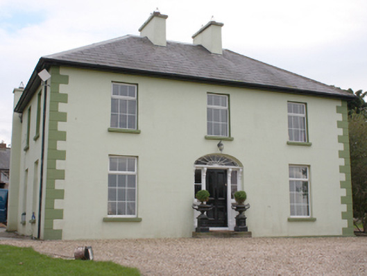 The Mansemanse · 246 yd
 Carndonagh Presbyterian Churchchurch/chapel · 424 yd
 Fairy fort / stone ringfort in Machaire Dromann (tc Fánaid Thuaidh)Fairy fort / stone ringfort · 1459 yd
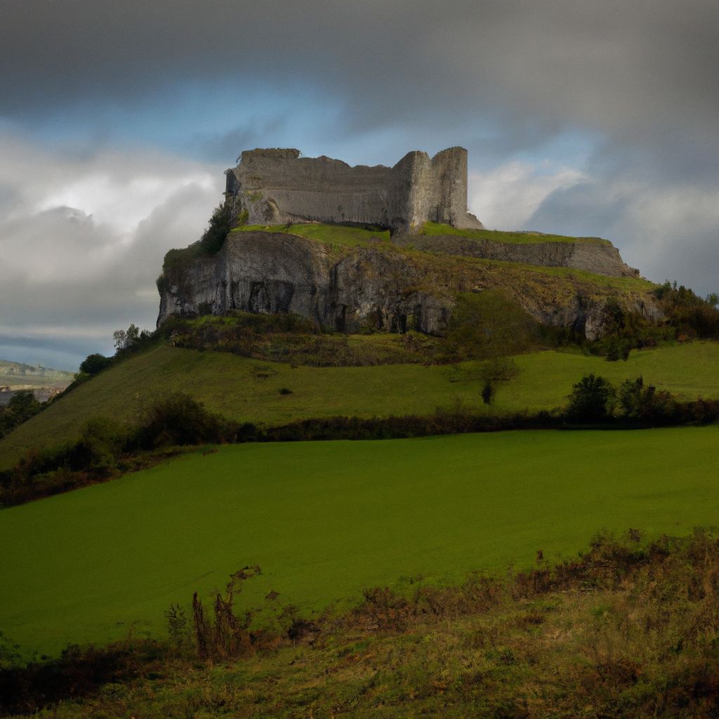 Cashelbane FortHilltop enclosure · 1.2 mi
 Carndonagh Early Church GraveyardGraveyard · 1.6 mi
 CuldaffOfficial bathing water · 4.5 mi
 CastleCastle, unclassified · 4.7 mi
 CroaghmoreMountain / peak · 5.0 mi
 Wee Slieve SnaghtMountain / peak · 5.2 mi
 Dough Famine VillageHeritage attraction · 5.6 mi
 Doagh Famine VillageMuseum · 5.6 mi
 Lag GraveyardGraveyard · 6.0 mi
Other information
Photo: Credit not shown in the picture search · Rights wording not checked; contact us if this picture should be removed